
Remote Sensing
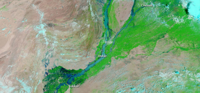
Pakistan to Adopt Remote Sensing and GIS Based Flood Mitigation System
In recent news by The Express Tribune, Pakistan Space and Upper Atmosphere Research Commission (SUPARCO) in collaboration with UNESCO will install satellite remote sensing and GIS technologies across Pakistan for
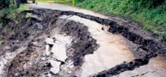
Microwave Radar Monitors Sliding Slopes
Geodesists from TU Darmstadt, Germany, research in the Alps The “Steinlehnen” slope in Northern Tyrol (Austria) started to move in 2003. Rockfalls threatened people, streets and buildings. Meanwhile, peace has

Crowdsourcing the Search for Malaysia Flight 370 – Join The Search
As the mystery of what happened to the 239 people on board Malaysia flight 370 deepens, a Colorado satellite imaging company is launching an effort to crowdsource the search, asking

What’s New in ENVI 5.1?
Yesterday I got my first hand on experience with the ENVI 5.1, image processing software. Loaded with lots of many new features and with a new user interface. The
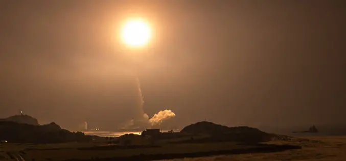
Global Precipitation Measurement Mission Launches Successfully
The world has enters a new era of global weather observing and climate science on February 27, 2014, at 1:38 p.m. Eastern Standard Time. GPM, a joint mission between NASA
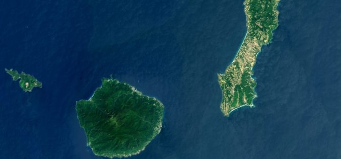
Landsat 8 Eyes Japan, GPM Launch Site
This Landsat 8 satellite image of some southern Japanese islands includes Tanegashima (far right), from where the Global Precipitation Measurement, or GPM, mission’s Core Observatory is scheduled to blast into

Bears from Space: Scientists Try to Count Polar Bears Using Satellite Imagery
They look like tiny white specks on a mottled grey background. They’re polar bears seen from space — using the newest tool in the kit for scientists to monitor Canada’s
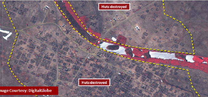
Remote Sensing of South Sudan’s Civil War
Recently a report is published by the Satellite Sentinel Project on the civil war in South Sudan and its impact on civilians. The conflict is estimated to affect a total
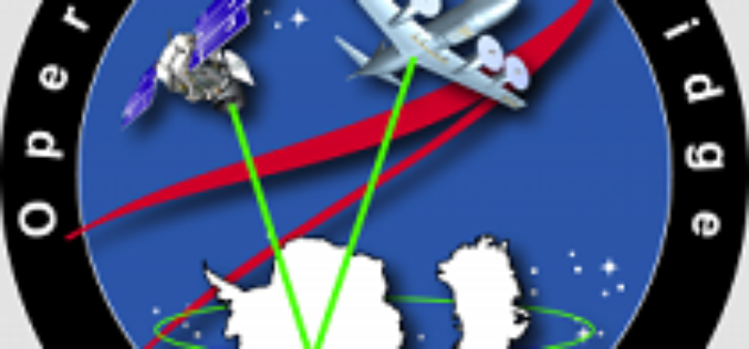
NASA’s Operation IceBridge: To Monitor Antarctic and Arctic ice
NASA’s Operation IceBridge, an airborne mission started in 2009 to monitor Antarctic and Arctic ice. IceBridge is the largest airborne survey of Earth’s polar ice ever flown and will use airborne
Kazakhstan to Launch Three Spacecrafts
In recent news, Kazakh Space Agency head Talgat Musabayev made the remark that Kazakhstan will launch three of its own spacecrafts from Baikonur Cosmodrome in 2014. Kazakhstan will launch one communication satellite
