
Remote Sensing
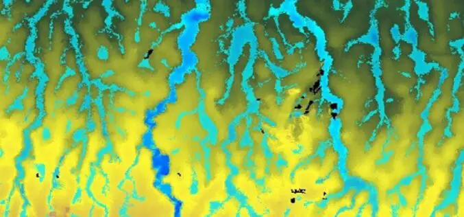
FABDEM: The New Standard of Digital Elevation Models
To level up the playing field for DEM users, in 2022 flood modeling experts Fathom built and released FABDEM (Forests And Buildings removed Copernicus DEM) in a collaboration with the University of Bristol
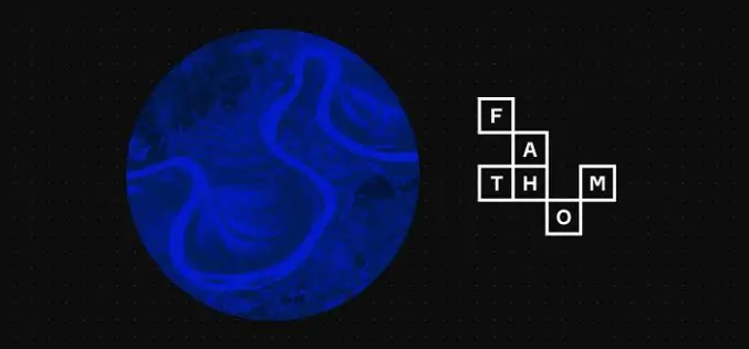
Flood Experts Fundamentally Change View of Risk with Launch of New Global Flood Map
New map is the first to provide engineers with a view of future flood risk based on a wide range of global warming and emissions scenarios Flood experts Fathom are
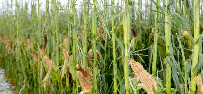
How AI and Aerial Imagery Can Improve Crop Damage Assessments in Agricultural Insurance
About Author Corey Feduck Director of Business Development at Ceres Imaging As extreme weather events continue to increase in frequency, insurance firms are partnering with agricultural technology companies to gain
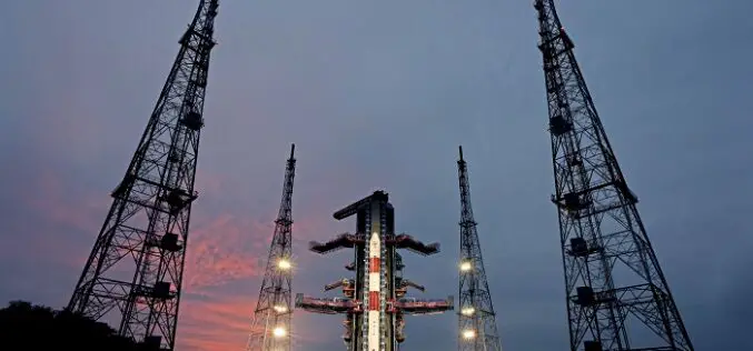
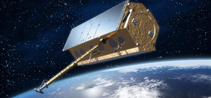
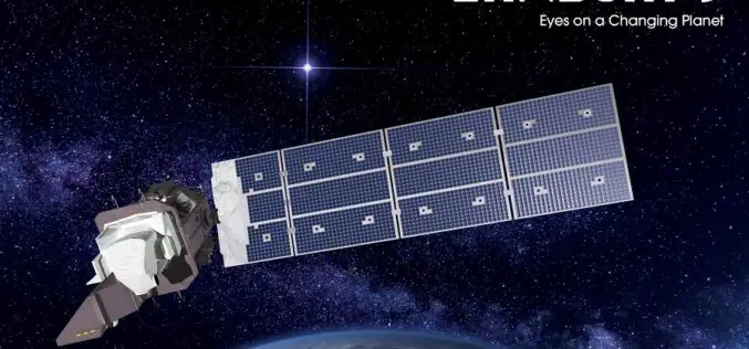
ISRO Successfully Launched PSLV-C53/DS-EO Mission with 3 Satellites
On June 30, 2022, ISRO launches the PSLV-C53/DS-EO mission. The launch will take place at 18:00 IST from the Satish Dhawan Space Centre’s Second Launch Pad in Sriharikota. PSLV-C53 is

Satellite Data Help to Detect Artisanal Mining – GAF AG Develops the “ASM Alert” Web Platform
GAF has developed and implemented an easy-to-use web-based system to recognize indications of unlicenced artisanal and small-scale mining (ASM) in tropical forests – the “ASM Alert” platform. The platform combines
ISRO Online Course on SAR Data Processing and its Applications
To further enhance the outreach of geospatial science and technology Indian Institute of Remote Sensing (IIRS), Indian Space Research Organisation (ISRO) offers Massive Open Online Courses (MOOC) for international participants.
Free and Open Source SAR Image Processing Software
This blog post will introduce best free/open source SAR Image Processing Software packages and provide a brief overview of their features.
Solar Induced Chlorophyll Fluorescence – A Better Predictor of Crop Stress through Satellite Remote Sensing
Solar Induced Chlorophyll Fluorescence is an electromagnetic signal re-emitted by Chlorophyll-a of a plant which was absorbed by chlorophyll-a and chlorophyll-b from active photosynthetic radiation but unused for photosynthesis.
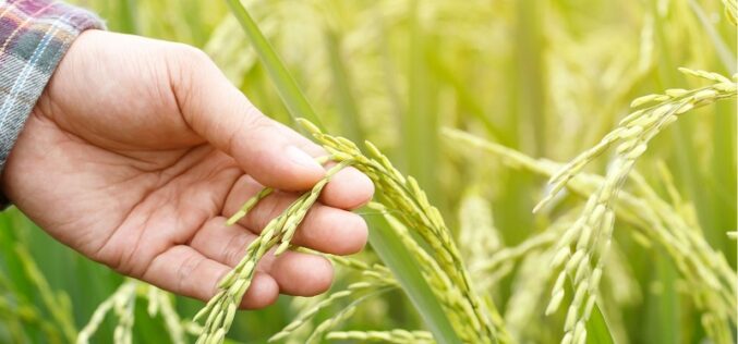
How Geospatial Technologies Are Bringing Another Green Revolution In India
By integrating spatial information with data on crops, irrigation, weather, and soil characteristics, researchers can develop models that help farmers optimize their production. In this way, geospatial technologies are bringing another green revolution in India.
Download Landsat 9 Satellite Data
On September 27, 2021, NASA successfully launched Landsat 9 satellite from Vandenberg Space Force Base using an Atlas V rocket. In the Landsat series of satellites, the Landsat 9 satellite
