Remote Sensing
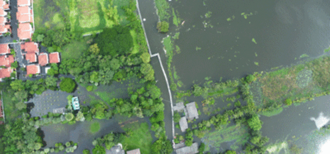
Malaysia to Use UAV to Monitor Floods
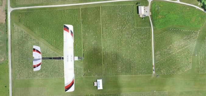
The Malaysian government will be using its newly built UAV to monitor floods during the monsoon seasons. The unmanned aircraft “Unmanned Aerial Vehicle-Remote Sensing (UV-RS)”, was collaboratively developed by ARSM, Multimedia
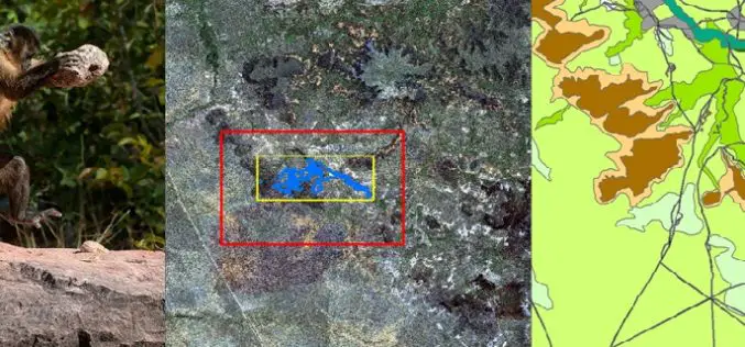
Remote Sensing Technology Is Used to Map Monkey with Hominid like Behavior
Biologists are fascinated by the applications of remote sensing and geographic information system (GIS) to the characterization of wildlife habitats as an area of growing significance for conservation. “Remote sensing
Iran to Launch Indigenous Built Remote Sensing Satellite Next Year
According to the latest news by Tasnim News Agency, Iran plans to send its first indigenous built remote sensing satellite “Tolou 1” into orbit by the first half next year.
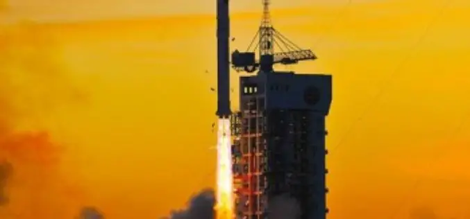
China Launches its First Commercial Mission Jilin-1
China has entered into commercial market of remote sensing with the launch of the Jilin – 1 mission. China has recently launched Jilin-1 mission carrying four satellites on Oct. 7,
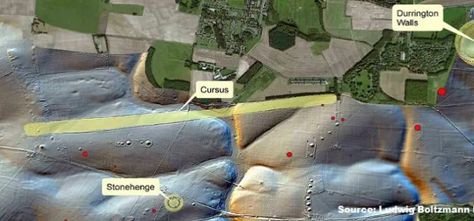
Geospatial Research Program Seeks Project Applications
FAYETTEVILLE, Ark. – The Spatial Archaeometry Research Collaborations (SPARC) Program, a National Science Foundation-funded initiative at the Center for Advanced Spatial Technologies at the University of Arkansas, is accepting applications
Kansas State University and Precisionhawk Developing UAS App That Predicts Corn Production
Kansas State University has recently signed a research partnership with PrecisionHawk Inc., a Raleigh, North Carolina, to develop unmanned aerial systems or UAS app that predicts corn production. The partnership establishes
Remote Sensing for Real Time Coastal Monitoring
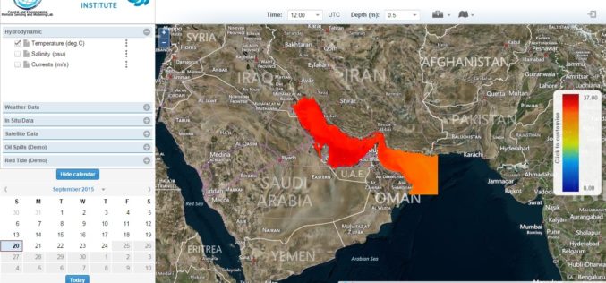
The Masdar Institute of Science and Technology (MI) has announced that it has launched an environmental regional observatory (http://earth.masdar.ac.ae/), offering comprehensive information for monitoring coastal processes in the UAE and
Laser Based Forest Mapping Instrument for Space Station
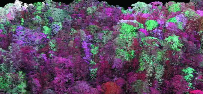
Laser-based technology will enable unprecedented measurements of 3-D forest structure A laser-based instrument for mapping the 3-D structure of Earth’s forests has passed a major milestone toward deployment on the
RIEGL with Impressive Display at INTERGEO 2015 in Stuttgart
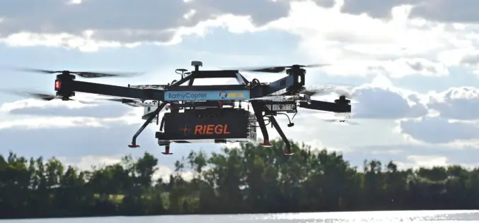
On the first day of INTERGEO RIEGL delivered an impressive display in Stuttgart! With a special UAV-area at booth E4.079, live demo UAV-flights at the outdoor area, and the unveiling


