
Business

Cardno Files U.S. Patent Application for UAS Remote Sensing Process
New patent application filing for Unmanned Aerial Systems UAS remote sensing technology workflow to support abandoned uranium assessment and cleanup. Cardno announced the filing with the U.S. Patent & Trademark Office
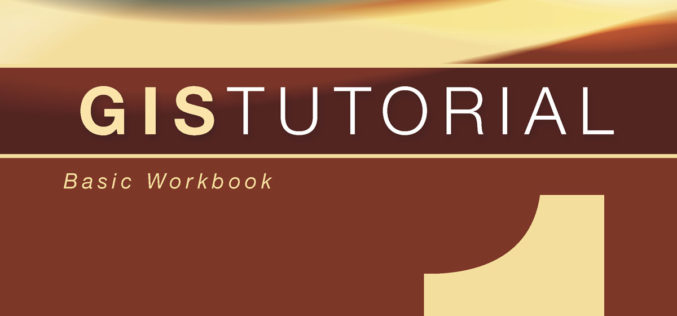
New Esri Workbook Teaches Basic Mapmaking and Spatial Analysis Techniques
Redlands, California—The new edition of GIS Tutorial 1: Basic Workbook, published by Esri, teaches the fundamentals of using geographic information system (GIS) technology, including making maps, geocoding data, and analyzing
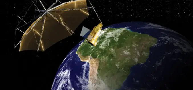
Airbus Defence and Space to Build Biomass – the European Space Agency’s Forest Mission
1st P-band radar in space will measure the amount of biomass and carbon locked in the world’s forests and how this changes over time Biomass satellite will provide support to
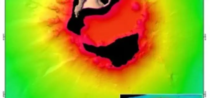
Scientists Explore Earth’s Newest Land Using Advanced, High-Resolution 3D Mapping
SUVA, FIJI – Research vessel (R/V) Falkor will return to port today after 28 days at sea conducting pioneering studies including mapping the Earth’s newest island landscape in the Kingdom

Leica Captivate Experience Continues with Self-learning GNSS, Dynamic Lock for MultiStations
Leica Geosystems, industry leader of measurement technology, has announced the Leica Viva GS16 and updated Leica Captivate and SmartWorx Viva software. The GS16 is a truly self-learning GNSS receiver, able
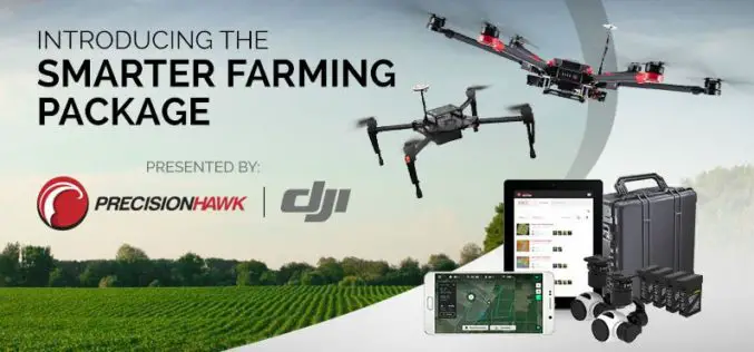
PrecisionHawk And DJI Deliver Easy-To-Use Drone And Data Packages For Farmers
The pre-assembled package, which includes DJI’s hardware platform plus PrecisionHawk’s flight and analytics software, is seamlessly integrated to provide a cost-effective and easy remote sensing tool for agriculture PrecisionHawk and

UNITAR and Esri Host Annual Conference in Geneva
Renowned Speakers Explore Use of Location-Based Tools to Support Sustainable Development Goals Earlier this week, the United Nations Institute for Training and Research (UNITAR) andEsri announced the featured speakers at
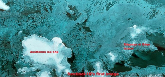
The First Images of Sentinel-1B
Launched on 25 April from Europe’s Spaceport in French Guiana, Sentinel-1B has produced its first images only two hours after the radar was switched on – a record time for

DigitalGlobe to Provide WorldView-4 Access to a New International Defense & Intelligence Customer
WESTMINSTER, Colo.–(BUSINESS WIRE)–Apr. 27, 2016– DigitalGlobe, Inc. (NYSE: DGI), the global leader in earth imagery and information about our changing planet, today announced it has entered into a letter of
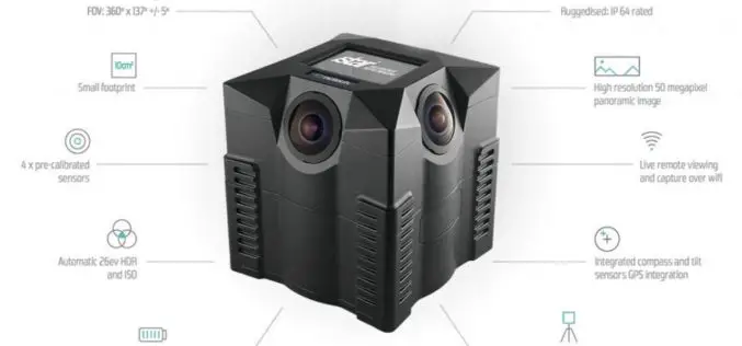
NCTech and Top Gear USA Capture the Rubicon Trail in 360 degrees
iSTAR camera used to create immersive visual experience of challenging off-road route on Google Maps Los Angeles, CA & Edinburgh, UK – April 27, 2016 – NCTech, the developer of

