
Business

Bridging the Gap between the Geospatial Sector and Society’s Global Challenges
Faced with such an abundant choice of trade shows, conferences and events, geospatial professionals often find it difficult to decide which ones to attend. The majority of those events are
SuperSurv for iOS Selected by Kebangsaan University, Malaysia for Academics and Training
Supergeo Technologies, the global GIS software and solution provider, announces that Kebangsaan University, Malaysia selects SuperSurv for iOS for its civil engineering and environment building research and training quality. As
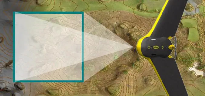
The 5 most viewed UAVs for Mapping and 3D Modelling on Geo-matching.com
The Geo-matching.com website features a selection of the most important geomatics equipment, including UAS for Mapping and 3D Modelling. At www.geo-matching.com you find product specifications, videos, brochures and more. Geo-matching.com

French Energy Company SPIE chooses SuperPad To Enhance Survey Efficiency
Supergeo, the total GIS software solution provider, announces that SPIE, France, chooses SuperPad, the mapping application designed for Windows Mobile,to empower its streetlights and other utilities survey works. SPIE, the
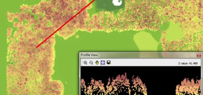
LiDAR, Point Cloud and SuperGIS Desktop 10
Have you ever thought of using LiDAR data through geographic information system to improve field tasks such as Forestry Management, Disaster Prevention, Coastal Change Management, and Contamination Simulation and so
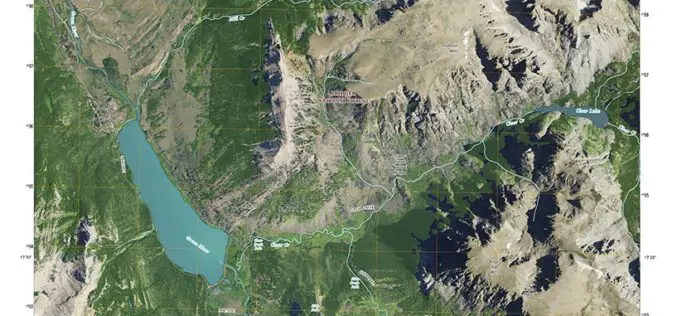
New Cowboy State Maps Add U.S. Forest Service Data
Newly released US Topo maps for Wyoming now feature more trails using data provided by the U.S. Forest Service such as the recreational trails in the Bridger-Teton National Forest. “The
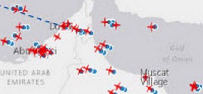
Esri and FlightAware Partner for Extensive Flight Tracking and Status Data Mapping Initiative
World’s Largest Flight Tracking Company FlightAware Makes Its Data Available in Market-Leading ArcGIS Mapping Platform Redlands, California—Esri and FlightAware have partnered to combine the power of the world’s leading flight

UN Special Session program at FOSS4G Seoul 2015
The FOSS4G Seoul 2015 Organizing Committee is pleased to announce the final program of “Open Source GIS for UN and Developing Countries” Special Session at FOSS4G Seoul 2015. This session

Trimble Announces Expanded Share Repurchase Program
SUNNYVALE, Calif., Aug. 13, 2015—Trimble (NASDAQ: TRMB) today announced that its Board of Directors has approved the repurchase of up to $400 million of Trimble’s common stock and that it
Hexagon Geospatial Automates Property Change Assessments in ERDAS IMAGINE
Files Patent for New Property Change Assessment Innovation for Growing Base of ERDAS IMAGINE Users Hexagon Geospatial is pleased to announce it has filed a patent for a new, fully
