
LiDAR
Philippine Use LiDAR to Maps out Renewable Energy Resources
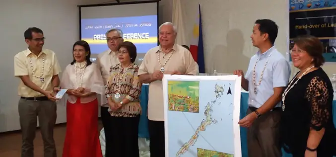
The Department of Science and Technology (DOST), Government of Philippine for applications of its Light Detection and Ranging (LiDAR) technology and maps out possible renewable energy resources through the PhiLiDAR
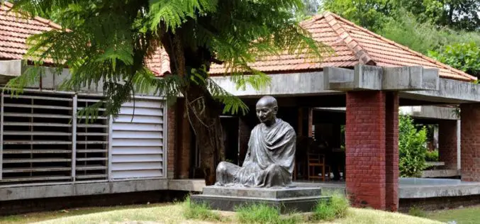
Gandhi Ashram Goes Under LiDAR Scan and Digitally Store
Mahatma Gandhi’s residence at Sabarmati Ashram – Hirday Kunj has under gone for LiDAR scanning to digitally store heritage building. This move has taken under a pilot project for the Gandhi
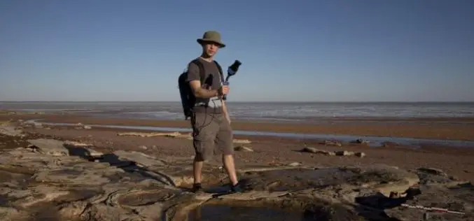
Mapping Australia’s Dinosaurs Landscape Using LiDAR and Drones
According to recent news by BBC, Scientists are trying to reconstruct ancient Australian landscapes once roamed by some of the biggest dinosaurs. The 130-million-year-old footprints are virtually the only record of
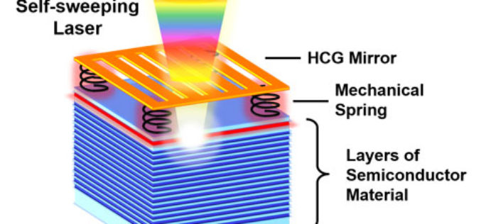
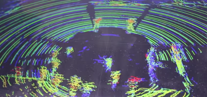
Self-Sweeping LiDAR Could Dramatically Shrink 3D Mapping Systems
A team of UC Berkeley engineers led by Connie Chang-Hasnain, a professor of electrical engineering and computer sciences, used a novel concept to automate the way a light source changes
ASPRS Launches Lidar Certification
The American Society for Photogrammetry and Remote Sensing (ASPRS) certification program announces the launch of a Professional and Technologist LIDAR Certification, the Certified Mapping Scientists, Lidar (CMS, Lidar) and the
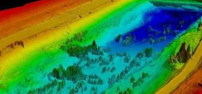
Philippines Uses LiDAR for Flood Hazard Mapping
Palawan is one of the many provinces of the Philippines that benefited from the flood hazard mapping project. The project was initiative of Department of Science and Technology’s (DOST). Recently
LAStools Toolbox now also for ERDAS IMAGINE 2015
The August release of LAStools from rapidlasso GmbH now also contains a toolbox for the latest 15.1 version of ERDAS IMAGINE® 2015 from Hexagon Geospatial. The two companies had announced their cooperation earlier this year after releasing
Telangana Government to Take Up LiDAR Survey of Barrages and Canals
As reported in The New Indian Express, the Telangana Government is all set to start the LiDAR survey of the altered Pranahita – Chevella project from August 18. The state government
Implementing LiDAR Technology in Transportation System
Brian Davis a Research Fellow at University of Minnesota is working on LiDAR (light detection and ranging) technology for implementing in transportation systems. Davis and his fellow researchers have outfitted a

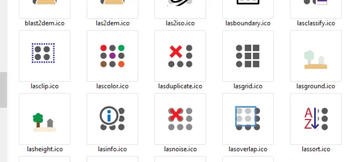
Open Source Software for Bulk LiDAR Data Processing Released
Developed for Forest Carbon Monitoring to Support Reducing Emissions from Deforestation and Forest Degradation (REDD+) in Kalimantan, Indonesia; Now Available for Public Use. For this project, Applied GeoSolutions and the
