
GIS
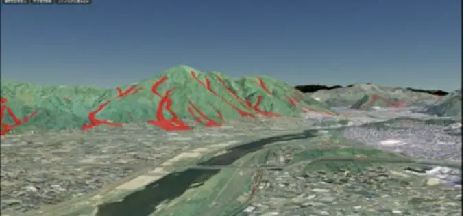
IISC Bangalore is Developing 3D Terrain Maps to Forecast Floods
According to recent news by the Bangalore Mirror, scientists from the city-based Indian Institute of Science (IISc) are developing high-resolution 3D terrain maps by using geographic information systems (GIS) to visualise
ISRO to Monitor Water Bodies in Tribal Areas Using Geospatial Technology
New Delhi – In a first, ISRO’s National Remote Sensing Centre (NRSC) will monitor and map the water bodies in tribal belts in the country to help tackle irrigation crisis
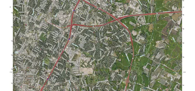
New Maps for Texas and Oklahoma Released
Updated US Topo maps for Texas and Oklahoma available for download; add Census Bureau road data, wetlands layer and select trails New US Topo maps for Texas and Oklahoma are
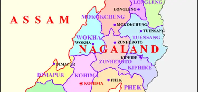
Space Technology Application Necessity in Nagaland
Nagaland’s Parliamentary Secretary Planning & Coordination, Evaluation and Taxes, Neiba Kronu today said that space technology application has become a necessity. The accuracy of all forms of data collected for
Satellite Mapping for Property Tax Recovery
According to recent news by ToI, Navi Mumbai Municipal Corporation (NMMC) property department may levy property taxes which will also account for the alterations done from this year. The department
Pratt Institute Announces the Spatial Analysis and Visualization Initiative
On April 28, Pratt Institute will celebrate the official opening of the Spatial Analysis and Visualization Initiative (SAVI), the Institute’s research lab and service center focused on Geographic Information Systems
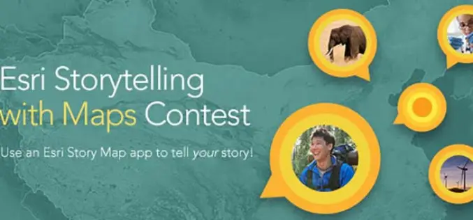
Tell Your Story Through Esri Story Maps and Win Prizes!
Would you like to be in sunny San Diego this June? Esri Story Maps let you combine authoritative maps with narrative text, images, and multimedia content. They make it easy
Geospatial Information Authority of Japan Released a Free Online 3D Mapping Service
A national surveying institute has released a free online 3D mapping service that could help increase natural disaster preparedness by showing accurate renditions and contours of landforms. Created by the
Government of India Launches E-CGHS Cards, GIS-Enabled HMIS Application
New Delhi, PTI – The Centre has recently launched two digital initiatives, including an e-health card, aimed at benefiting pensioners who find it difficult to visit Central Government Health Scheme
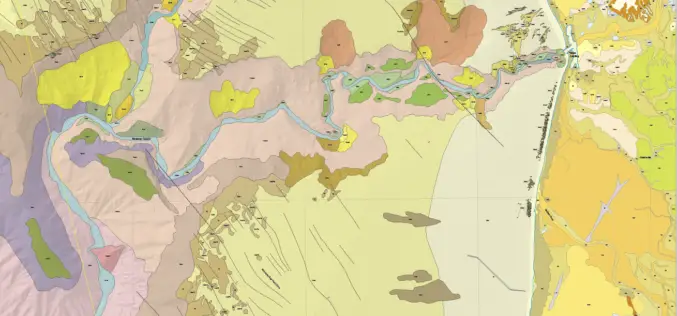
New Maps Illuminate Monterey Bay Area Seafloor
Six new sets of maps reveal the diverse and complex range of seafloor habitats along 130 kilometers (80 miles) of the central California coast from the Monterey Peninsula north to Pigeon
