
GIS
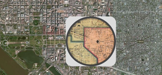
Federal Agencies ‘Mapping and Apping the Nation’
Maps today are much more than an outline of shapes and landmarks. We use them all the time in combination with the vast amount of information available online to plan

Isotropic Depleted Mantle Model Age Map of Australia
Geoscience Australia has released the Samarium-Neodymium (isotope) depleted mantle maps of the Australian continent. This view included the investigation of Australia’s lithospheric architecture to establish a whole-of-lithosphere architectural framework as a
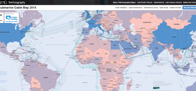
Submarine Cable Map of The World
TeleGeography is a telecom firm. TeleGeography has recently released the updated version 2014 of Submarine Cable Map. The latest version of map shows 285 cable systems current in active state or

Visakhapatnam Urban Development Authority to Implement GIS for Real Time Project Monitoring
Visakhapatnam Urban Development Authority is planning to introduce Geographical Information System (GIS) with an aim of displaying the latest status of its various projects as well as the areas under its

Google to Share Map Data with Game Developers
In recent news, Google’s Vice President of Niantic Labs John Hanke informed that Google is planing to make its trove of real-world map data available to game developers within the next
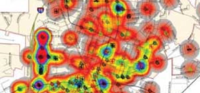
Mapping the Weekly Crime Report
Crime Analysis using GIS A COGS student is hoping that last year’s crime reports will help local police predict patterns in this year’s 911 calls. Brad Benham, a mapping student

Geo-spatial Technology for Women Safety
In a recent news, the Cabinet Committee on Economic Affairs (CCEA), Government of India has approved a proposal of the Ministry of Home Affairs to establish an Integrated Computer Aided

Vellore Corporation Introduce GIS for Streetlight
The Vellore Corporation is initiating a high-tech system to monitor and maintain streetlights. Geographic Information System (GIS) to monitor streetlight would be implemented as a public-private partnership project at an
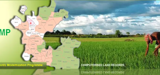
National Land Records Modernization Programme (NLRMP): A Government of India Flagship
Raja Todarmal had introduced land revenue, land survey and settlement system in India during the regime of great Mughal emperor Akbar. On the basis of land survey Raja Todarmal prepared the maps

GIS Governance for Tamil Nadu State, India
In recent news, Government of Tamil Nadu has announced the implementation of Geographical information System (GIS) for Tamil Nadu state. Tamil Nadu Geographical Information System (TNGIS) is an initiative to ensure
