
E-books
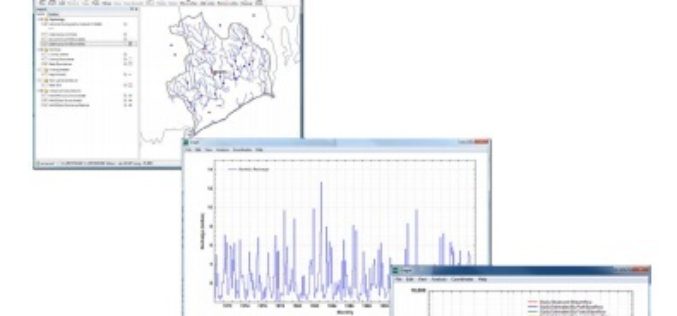
U.S. Geological Survey Groundwater Toolbox, a Graphical and Mapping Interface for Analysis of Hydrologic Data
U.S. Geological Survey groundwater toolbox, a graphical and mapping interface for analysis of hydrologic data (version 1.0): user guide for estimation of base flow, runoff, and groundwater recharge from streamflow
FREE Access to the Leading GIS & Remote Sensing Journals
Taylor & Francis Group partners with researchers, scholarly societies, universities and libraries worldwide to bring knowledge to life. As one of the world’s leading publishers of scholarly journals,
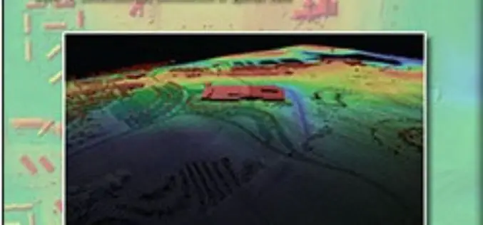
Lidar Base Specification
Lidar Base Specification By Hans Karl Heidemann Abstract In late 2009, a $14.3 million allocation from the “American Recovery and Reinvestment Act” for new light detection and ranging (lidar) elevation

Land Applications of Radar Remote Sensing
The aim of this book is to demonstrate the use of SAR data in three application domains, i.e. land cover (Part II), topography (Part III), and land motion (Part IV).
Investigation of Ground Remote Sensing Techniques for Supporting an Early Warning Water-Leakage System
Investigation of Ground Remote Sensing Techniques for Supporting an Early Warning Water-Leakage System Athos Agapiou, Dimitrios D. Alexakis, Kyriacos Themistocleous, Apostolos Sarris,Skevi Perdikou, Chris Clayton and Diofantos G. Hadjimitsis The decrease of water
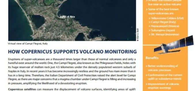
How Copernicus Supports Volcano Monitoring
Eruptions of super-volcanoes are a thousand times larger than those of normal volcanoes and only a handful exist around the world. One, the Campi Flegrei, also known as the Phlegraean
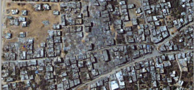
Impact of the 2014 Conflict in the Gaza Strip – UNOSAT Satellite Derived Geospatial Analysis
Impact of the 2014 Conflict in the Gaza Strip – UNOSAT Satellite Derived Geospatial Analysis This satellite derived geospatial analysis documents damages over the Gaza Strip following the July-August 2014
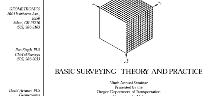
Basic Surveying -Theory and Practice
Basic Surveying -Theory and Practice Ninth Annual Seminar Oregon Department of Transportation Geometronics Unit Bend, Oregon This handbook on Basic Surveying -Theory and Practice gives a detailed explanation on Surveying techniques

Real-Time Kinematic Surveying Training Guide
Real-Time Kinematic Surveying -Training Guide by Trimble Navigation Limited The overall goal of this course is for you to learn how to use the Trimble® Real-Time Kinematic Surveying (RTK) system so that

Landsat and Water—Case Studies of the Uses and Benefits of Landsat Imagery in Water Resources
The Landsat program has been collecting and archiving moderate resolution earth imagery since 1972. The number of Landsat users and uses has increased exponentially since the enactment of a free
