Automatic Disaster Analysis and Mapping System Speed Up Earthquake Aid Response
 The Automatic Disaster Analysis and Mapping system (ADAM) pulls information from the U.S. Geological Survey, World Bank and World Food Programme databases, getting aid workers vital facts from earthquake zones within minutes of a quake, as opposed to the old, manual search system which took hours.
Having quick access to information on the scale of a disaster, and what supplies and infrastructure are available nearby, will allow relief groups to make quicker decisions on how to move food into a stricken region.
It will help answer logistical questions like: “How many workers should be sent in? How should agencies coordinate among various agencies and NGOs?” Jane Howard, a spokeswoman for the World Food Programme, told the Thomson Reuters Foundation.
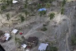
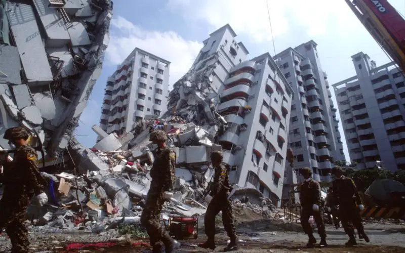
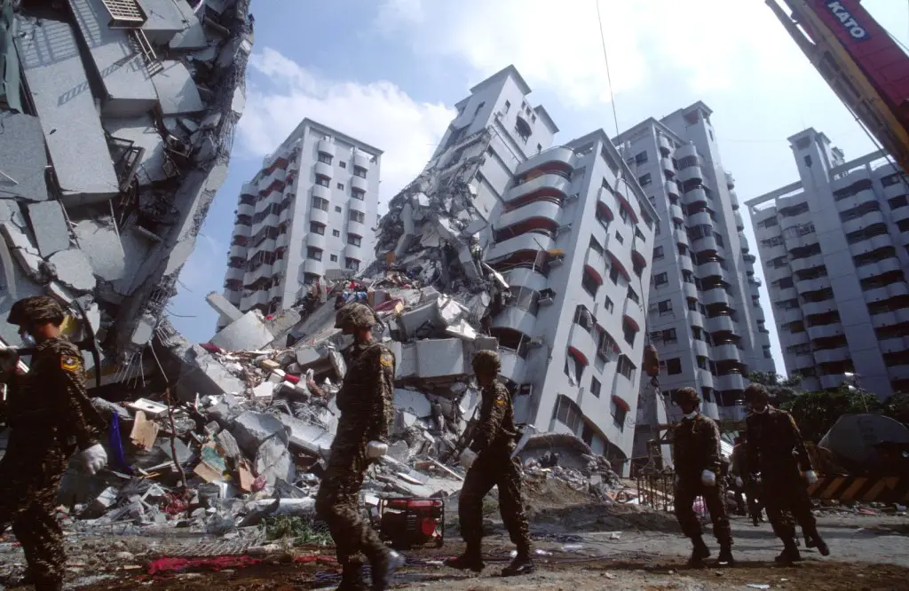
Getting food aid, tents, medical kits and communications equipment into a disaster zone within the first 24 hours is crucial for saving lives, U.N. officials said.
“Instead of staff having to trawl through different systems, all the information is now available through one, common, early warning system,” WFP official Filippo Pongelli said in a statement.
“The whole system has been developed with open-source (free to use) technology, and this means that not a single dollar has been spent in software licensing.”
Such a system could have speeded up the response time after disasters like the 7.0 magnitude earthquake that rocked Haiti in 2010, Howard said.
The WFP hopes to expand the digital early warning system to cover tropical storms, floods and other disasters.