
Posts From GIS Resources

OGC Approves Community Standard for Streaming 3D Content
September 06, 2017 – The Open Geospatial Consortium (OGC®) membership has approved a new 3D standard for content strategy. This standard is focused on high performance visualization and spatial analysis

Pix4D Among UAV Industry Leaders Intel® Uses to Launch Intel Insights Platform
September 7, 2017 – Yesterday at InterDrone, Intel CEO Brian Krzanich announced the new Intel Insight Platform that will allow select enterprise customers to accelerate the path from drone flight to

Honeywell Launches UAV Industrial Inspection Service, Teams With Intel On Innovative Offering
MORRIS PLAINS, N.J., Sept. 6, 2017 /PRNewswire/ — Honeywell (NYSE: HON) has launched its first commercial unmanned aerial vehicle (UAV) inspection service, the Honeywell InView inspection service, to help industrial
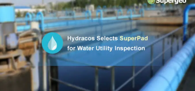
Hydracos Selects SuperPad for Water Utility Inspection
Supergeo is pleased to announce that SuperPad, the mobile GIS software integrates GIS and GPS positioning technologies perfectly, is earlier selected by French company Hydracos with the assistance of Supergeo’s
OGC Seeks Public Comment on Proposed Geocoding API Standards Working Group
September 5, 2017 – The Open Geospatial Consortium (OGC®) is requesting comments on the draft charter for an OGC Geocoding API Standards Working Group (SWG). Geocoding is the act of linking
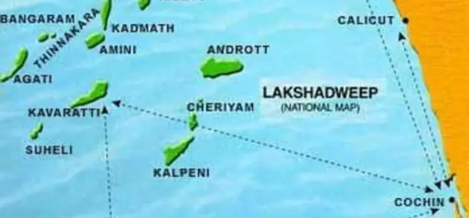
Uninhabited Lakshadweep Island Vanishes, Study using GIS & Remote Sensing
Kochi, Sep 6 (PTI) One of the biodiversity-rich uninhabited islands part of Lakshadweep has vanished due to coastal erosion and another four such territories in the sea are shrinking fast, claims
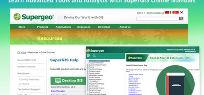
Learn Advanced Tools and Analysts with SuperGIS Online Manuals
With the efforts of the Supergeo product team, the manuals for all SuperGIS products are now available online. Users can directly browse and search for any topics they want on
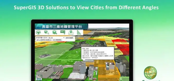
SuperGIS 3D Solutions to View Cities from Different Angles
In recent years, with the progress of information technology and hardware, many organizations are seeking to use advanced 3D tech to display their spatial data. Conforming to this trend, Supergeo,
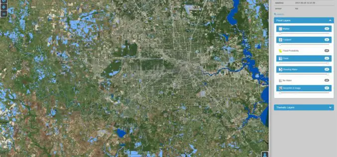
DLR Provides Satellite Data for Hurricane Harvey
DLR provides satellite data for Hurricane Harvey Radar images from TerraSAR-X German Aerospace Center (DLR) provides real-time recordings and archive data of the German radar satellite TerraSAR-X. DLR supports hurricane

DigitalGlobe Delivers WorldView-4 High-Resolution Satellite Imagery to Power PSMA Australia’s Continent-scale Mapping Initiative
WorldView-4 Imagery To Become Available To All Commercial Customers On August 31 WESTMINSTER, Colo.–(BUSINESS WIRE)–Aug. 29, 2017– DigitalGlobe, Inc. (NYSE: DGI), the global leader in Earth imagery and information about our changing planet,

