
Posts From GIS Resources
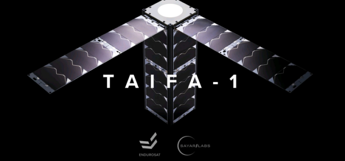
Kenya Teams Up with SpaceX to Launch Earth Observation Satellite Taifa-1
Kenya is set to make history by launching its first-ever Earth observation satellite Taifa-1 in collaboration with SpaceX. The East African country has been making significant strides in its space
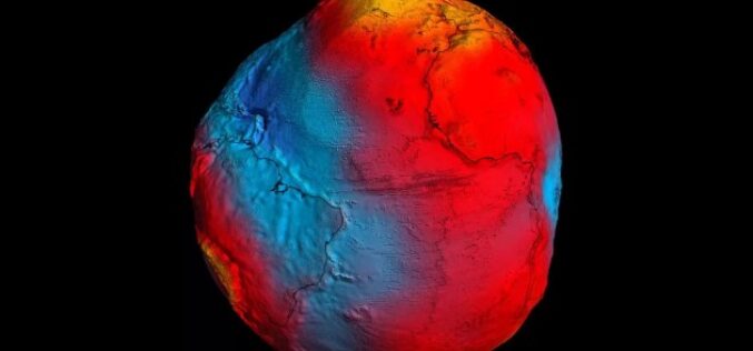
The Power of Geodetic Data: Accessing GGOS Portal for Research and Analysis
The Global Geodetic Observing System (GGOS) portal is a centralized access point for geodetic data. It provides access to a wide range of data related to Earth’s gravity field, geodetic
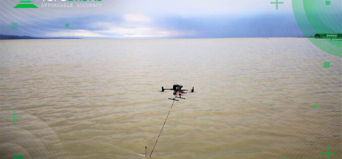
TOPODRONE – RASA Surveying Partnership Augments Coastal Mapping, Serves Resilient Communities
TOPODRONE, a Swiss based designer and manufacturer of high-precision surveying equipment, and RASA Surveying, an integrated surveying company, enter a technological partnership to advance airborne surveying approaches and accommodate coastal

China Successfully Launched Yaogan 34-04 Remote Sensing Satellite
China has once again demonstrated its growing capabilities in space technology, as it successfully launched a remote-sensing satellite on Friday (March 31, 2023). The satellite, named Yaogan 34-04, was launched
RMSI Recognized as an Esri Cornerstone Partner for 20 Years of Commitment to Esri and ArcGIS Technology
RMSI was recently recognized as a Cornerstone Partner at the 2023 Esri Partner Conference (EPC) held in Palm Springs, California, March 4–6, 2023. This acknowledgment was presented to RMSI for

Odisha Coastlines Loses Its Shine Due To Past 10 Cyclones in 12 Years
Sea erosion has been witnessed along the Odisha coastlines due to frequent topical cyclones and floods. The intensity of devastation is witnessed in six coastal districts Balasore, Bhadrak, Ganjam, Jagatsinghpur,

National Shoreline Change Assessment Mapping for Indian Coast
The National Centre for Coastal Research (NCCR), an attached office of the Ministry of Earth Sciences, completed a national shoreline change assessment mapping for the Indian coast (including Odisha) using
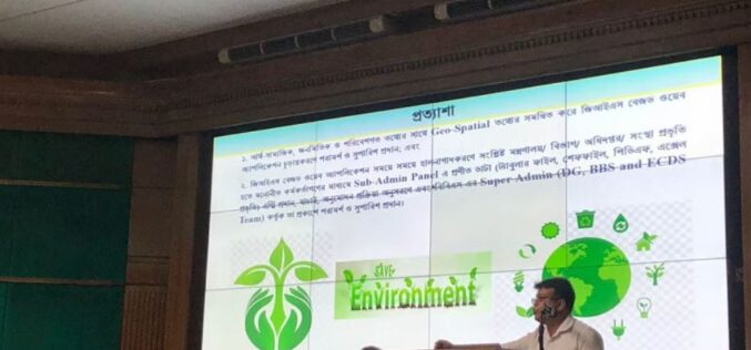
Bangladesh Bureau of Statistics Launch GIS App to Generate Environment, Climate Change Data
That’s great news! Geographic Information System (GIS) technology can be a powerful tool for generating and visualizing data related to the environment and climate change. By using GIS, data from

Septentrio Announces Agnostic GNSS Corrections Partner Program
Septentrio, a global high-precision GNSS location solutions provider, has launched the Agnostic GNSS Corrections Partner Program. This tool makes it easier to use Septentrio receivers with various high-precision services that
GIS Resources Magazine (Issue 1 | March 2023): Geospatial Technologies for Renewable Energy
GIS Resources is pleased to announce the publication of its 1st edition (March 2023) of the print and digital magazine. The edition is titled “Geospatial Technologies for Renewable Energy.” Renewable energy
