
Posts From GIS Resources
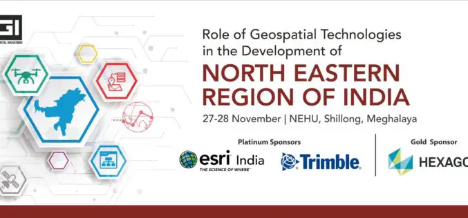
AGI and NEHU are Organizing a Conference On “Role of Geospatial Technologies in the Development of North Eastern Region of India”, Bringing Together the Largest Pool of Geospatial Stakeholders in the NE Region
Geospatial professionals have exciting days to look forward in this month. Association of Geospatial Industries (AGI), New Delhi and Department of Geography, North-Eastern Hill University, Shillong is jointly organizing a
Seattle SaaS Startup, Unearth, raises $7 MM in Series A Funding to Simplify GIS
SEATTLE (PRWEB) SEPTEMBER 16, 2019 – Unearth Technologies proudly announces a $7 million Series A investment led by Vulcan Capital, with participation from Madrona Venture Group. This latest round brings the total

TCarta Opens Jamaica Office to Provide Geospatial Services to Caribbean Region
DENVER, Colorado, USA, 6 November 2019 – TCarta Marine, a global provider of geospatial products and services, has opened an office in Kingston, Jamaica. Officially operating as a separate Jamaican

GIS Resources Magazine (Issue 3 | September 2019): The Role of Geospatial Technologies in Drought Monitoring and Mitigation
GIS Resources Magazine (Issue 3 | September 2019) – The Role of Geospatial Technologies in Drought Monitoring & Mitigation GIS Resources is pleased to announce the release of its 3rd edition (September 2019) of the print and digital magazine. The

Trimble Blends Performance and Simplicity with New X7 3D Laser Scanning System
Innovative High-Speed 3D Laser Scanning System Simplifies Use, Increases Efficiency and Provides Confidence in the Field to Capture Digital Data SUNNYVALE, Calif., Sept. 16, 2019—Trimble (NASDAQ: TRMB) introduced today the Trimble®
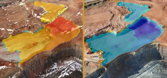
Virtual Surveyor to Unveil Enhanced Cut-and-Fill Mapping in Drone Surveying Package at InterGEO 2019
Faster, More Accurate Volume Calculations LEUVEN, Belgium, 10 September 2019 – Virtual Surveyor has added cut-and-fill mapping capabilities to Version 7.0 of its popular drone surveying package. The new functionality

Select and Download Sections of Large Point Clouds Right in Your Browser with NavVis IndoorViewer 2.5
The upcoming release of NavVis IndoorViewer 3D building visualization software will include a new feature to select, crop and download point cloud sections in browser. The beta version of the
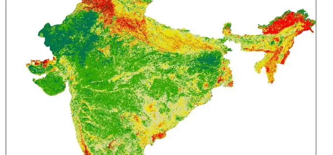
Pan India Drought : A Near Reality – An Analytical Story
Contributed By: This analytical story is about Drought, its frequency and intensity across India. This story emerged while working on Drought Vulnerability Management System. This story is due to effort put
TatukGIS Hosted OpenStreetMap Tile Server
TatukGIS hosted OSM (world map) web tile servers are available as a free service for use with TatukGIS software, including custom GIS applications developed by customers using the TatukGIS Developer

RIEGL Continues on Course for Success: RIEGL Invests in New Office and Production Facilities!
New, additional facility expansions at the headquarters in Austria as well as a new facility in the United States. RIEGL, an internationally successful manufacturer of LiDAR scanners for surveying applications
