
Posts From GIS Resources

Online Vector and Raster Converter Tool
MyGeodata Converter is an online tool that allows you to read and write from/to a huge number of CAD and GIS formats – both vector and raster. In contrast to
TatukGIS Developer Kernel for ASP.NET
TatukGIS announces release of the Developer Kernel for ASP.NET (DK.ASPNET) edition for custom GIS web server development. The DK for ASP.NET is a pure .NET SDK supporting HTML5/JavaScript technology for

Vellore Corporation Introduce GIS for Streetlight
The Vellore Corporation is initiating a high-tech system to monitor and maintain streetlights. Geographic Information System (GIS) to monitor streetlight would be implemented as a public-private partnership project at an
RFP for Implementation of Desktop and Web-Based GIS Application in IDCO
Odisha Industrial Infrastructure Development Corporation (IDCO) invites Request for Proposal (RFP) from reputed Consulting Firms for Implementation of Desktop and Web-Based GIS Application in IDCO. IDCO desires to develop a customized Open
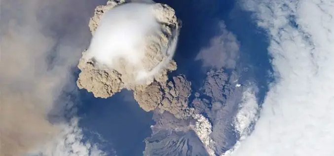
Dazzling Russian Volcano Eruption Seen from the Space
NEW YORK: The spectacular, eye-popping beauty of an erupting volcano is not to be missed if it is captured from space. Crew aboard the International Space Station (ISS) got a rare image

Free Esri India Webinar on ArcGIS for Server
Esri India will conduct a free webinar on February 12, 2014 at 11.00 AM IST onwards. ArcGIS for Server gives you the fine-grain control you need to provide secure, reliable
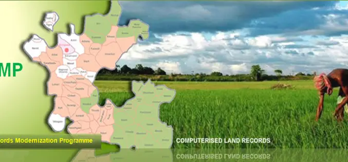
National Land Records Modernization Programme (NLRMP): A Government of India Flagship
Raja Todarmal had introduced land revenue, land survey and settlement system in India during the regime of great Mughal emperor Akbar. On the basis of land survey Raja Todarmal prepared the maps
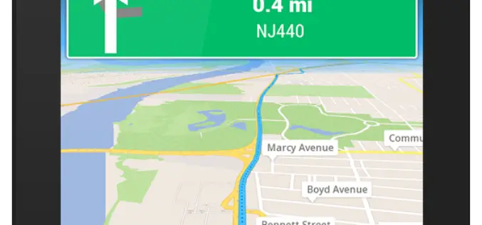
GPS Navigation & Maps (light) Now for Android Devices
The global success for iPhone & iPad (more than 3.5 million users: GPS Navigation 2) now finally available for Android devices. With GPS Navigation & Maps you need worry no
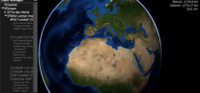
Webinar: NASA World Wind Virtual Globe Technology
Webinar: NASA World Wind Virtual Globe Technology on February 13, 2014 The ICA-OSGeo Lab Network and MundoGEO will be conducting the fourth webinar of the “Open Geospatial Science & Applications” webinar series . The webinars
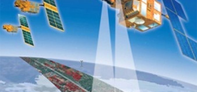
France to Distribute Free Old SPOT Data for Non-Commercial Use
In recent news by Spacenews, The Government of French has agreed to open its SPOT optical remote sensing data archive and distribute, free of charge to noncommercial users. Under this policy all

