
Posts From GIS Resources
Remote Sensing to Demark Ecologically Sensitive Areas
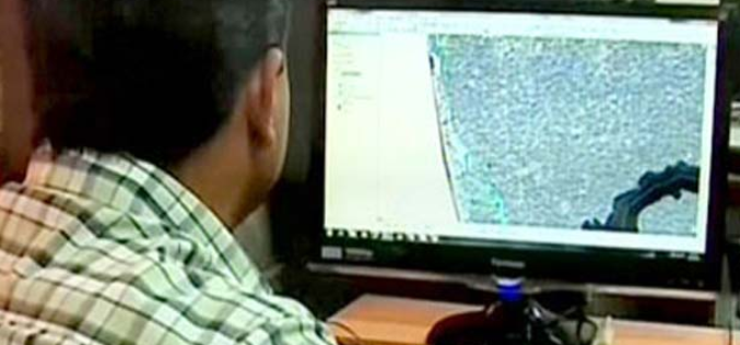
Kollam: The process of demarcating inhabited areas in the 123 villages, which are Ecologically Sensitive Areas (ESAs) as per the Kasturirangan draft report, is halfway through. The State Remote Sensing
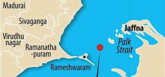
Katchatheevu was Geologically Linked to Indian Land Mass
The Centre has taken the controversial stand that Katchatheevu in the Palk Strait off Rameswaram coast in Tamil Nadu was never part of India, but a senior geologist and remote

PR: PolicyMap Releases New Mapping Tool for the Masses
Self-Service Web Tool Turns Open Data into Useable Data PolicyMap is putting data mapping tools in the hands of the masses with a new Web tool that launched today at www.policymap.com.
1 EoI and 2 RFP’s by Assam Electronics Development Corporation Ltd., Assam
Assam Electronics Development Corporation Ltd. Industrial Estate, Bamunimaidan, Guwahati – 781021, Assam 1: Expression of Interest (EOI) Tender No. : AEDC/P&S/e-dist/2013-14/003/6 Dated: 04/03/.2014 Assam Electronics Development Corporation Ltd.(AMTRON) on behalf of

RFP Reform Works (Consumer Survey, Water Audit, GIS Mapping, Hydraulic Modelling and Energy Audit)
Municipal Council, Dhamangaon Rly., Dist. Amravati. Online percentage rate tender in B-l form on percentage rate basis in two envelope system is invited by the Chief Officer, Municipal Council, Dhamangaon
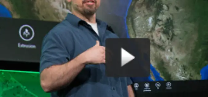
What’s New and What’s Coming for the ArcGIS Developer
Here’s a video from the plenary session that describes what’s new for the developer, including new licensing, the GeoTrigger service, enhancements with support for 3D, updates about SDKs and much

OGC Announces New Discrete Global Grid Systems Standards Working Group
The Open Geospatial Consortium (OGC®) announces the formation of a new OGC Technical Committee Standards Working Group (SWG). The purpose of this SWG will be to explore and propose terms
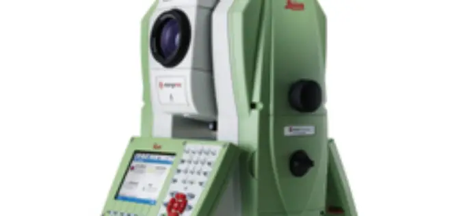
PR: Leica Nova MS50 MultiStation Delivers First 3D Scan of the Mont Blanc Ice Cap
Reaching the top of Mont Blanc, Europe’s highest peak, is a formidable challenge even to the most experienced alpinists – not only because of its elevation, but also because of
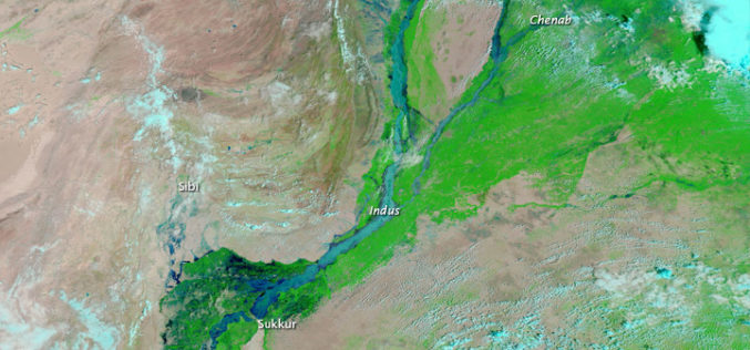
Pakistan to Adopt Remote Sensing and GIS Based Flood Mitigation System
In recent news by The Express Tribune, Pakistan Space and Upper Atmosphere Research Commission (SUPARCO) in collaboration with UNESCO will install satellite remote sensing and GIS technologies across Pakistan for
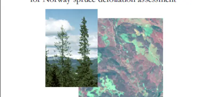
Evaluation of IRS-1C LISS-3 satellite data for Norway spruce defoliation assessment
Evaluation of IRS-1C LISS-3 satellite data for Norway spruce defoliation assessment Download Evaluation of IRS-1C LISS-3 satellite data for Norway spruce defoliation assessment “This blog does not host any contents or

