
Posts From GIS Resources

Join Webinar – Scripting in gvSIG Desktop 2
MundoGEO and gvSIG Association invite you to participate in an online seminar in which the details of the extension in gvSIG scripting 2 will be explained, and wherein an example

Exprodat’s Petroleum ArcGIS Training Comes to Calgary
Exprodat, the UK-based provider of Esri-based petroleum GIS services, software and training will be visiting Alberta in Canada at the end of April 2014, to offer their wide-range of oil

PR: Synthicity Releases 3D Spatial Data Visualization Tool, GeoCanvas
New Software Streamlines GIS Berkeley, California – Synthicity has released (on March 26, 2014) a free public beta version of GeoCanvas, its 3D spatial data visualization tool. The software provides

GRASS GIS 7.0.0 beta 1 is Released
What’s new in GRASS GIS 7.0.0 beta in a nutshell: The graphical user interface based on wxPython (introduced in GRASS GIS 6.4) has been enriched with many new features in
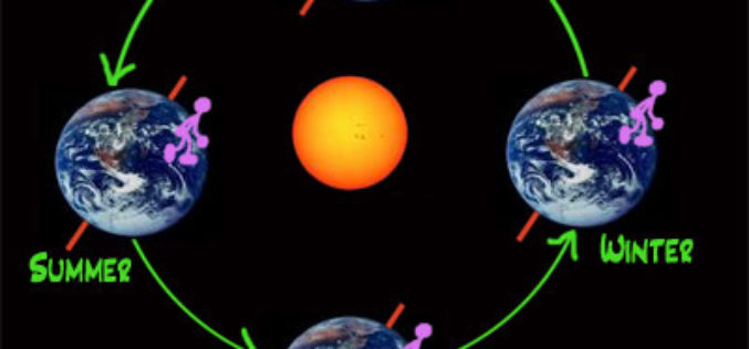
Northern Seasons are Shifting: Study
Scientists have discovered a shift in the northern seasons, with spring arriving early and autumn being delayed. Peter Atkinson, professor of geography at the University of Southampton, has examined satellite
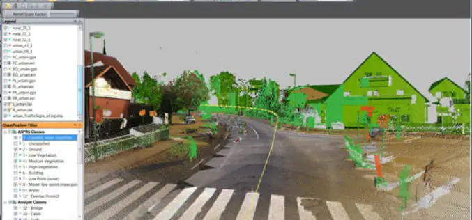
PR: Trimble Launches New Version of its eCognition Software for Advanced Geospatial Data Analysis
LOUISVILLE, Ky., March 28, 2014—Trimble (NASDAQ: TRMB) announced today the latest version of its eCognition® software for geospatial data analysis at the American Society for Photogrammetry and Remote Sensing (ASPRS)

Webinar – First Approach to the OpenStreetMap Universe
First Approach to the OpenStreetMap Universe Mon, Apr 28, 2014 2:00 PM – 3:00 PM GMT The ICA-OSGeo Lab Network and MundoGEO are now pleased to inform the sixth webinar

WFP slates training on GIS, DANA March 31-April 4
ILOILO CITY, March 29 (PIA6) – The World Food Programme (WFP) will conduct a Geographic Information System (GIS) and Damage Assessment and Needs Analysis (DANA) training on March 31-April 4

Upcoming Changes to Landsat Surface Reflectance Climate Data Records
Today I received an email from USGS as a notice of planned changes to the processing and output options of Landsat Surface Reflectance (SR) Climate Data Records (CDR). In the near
RFP: Design, Supply, Installation, Testing & Commissioning of GIS Based Vehicle Tracking & Work Monitoring system in HE Dept. of MCGM
The Municipal Commissioner of Greater Mumbai, invites item rate base online tender from the software developers and he should in the field of “GPS or similar management system for any

