
Posts From GIS Resources
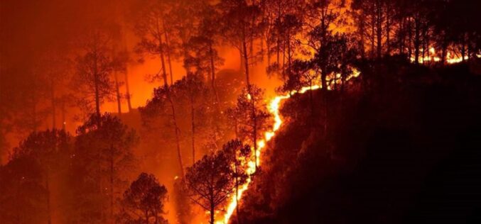
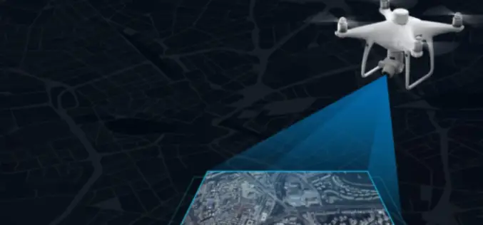
How Google is Using Satellite Imagery for Mapping Wildfires?
Google Earth Engine is at the core of processing satellite imagery for mapping wildfire. The satellite images then processed using Google Earth Engine processing libraries for data analysis.
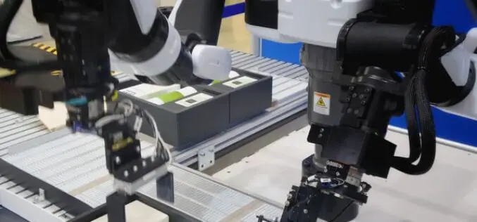
Collaborative Robots In The Workplace
Collaborative robots or cobots, rather are robots that are built to interact with human beings.
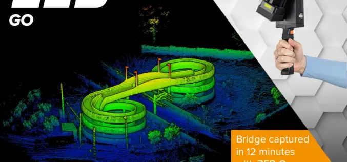
ZEB Go Launches a New Era for Mobile SLAM
There’s a smarter way to map and understand spaces, and it’s called the ZEB Go. The latest member of the ZEB family has arrived, bringing lower cost SLAM to even more people.
OnPOZ Collect and Cloud Mappings Apps for Geospatial Data Collection
OnPOZ Collect is a powerful GIS mapping app that transforms a phone or tablet into a geospatial data collection tool.

Mangaluru Smart City has gone Live, What does it mean for Residents?
Mangaluru Smart City already using the Integrated Command and Control Center as a war room for the administrators to combat COVID-19 pandemic.
RMSI Appoints Venu Nair as Chief Operating Officer
RMSI has expanded its senior leadership team with the appointment of Venu Nair as Chief Operating Officer (COO).
Let’s Talk About: Educational Resources on Photogrammetry
Photogrammetry enables you to capture three-dimensional models from images taken using digital cameras. The process is carried out using affordable software and gets accomplished in a very automatic manner. That

Benefits of Using an Invoice Generator App to Grow Your Small Business
Using invoice generator applications is very important, and this is because of many reasons that you should know about in detail. We want you to know that the invoices

Choosing the Best Web Hosting Platform
Having a website is one of the fundamentals for all types of business. Whether you are a designer, photographer, or a freelancer, having your own website is a great
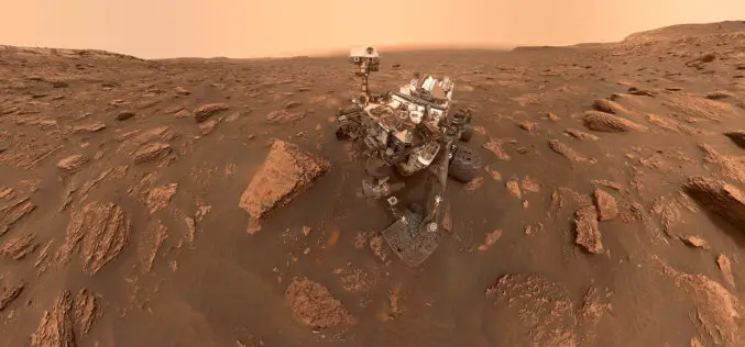
Why Countries are in Rush to Mars Exploration?
Mars often known as the ‘Red Planet’ of our solar system has been in the human imagination for centuries. Mars is the 2nd smallest planet and the most shouted planet for scientific exploration.

