
Posts From GIS Resources
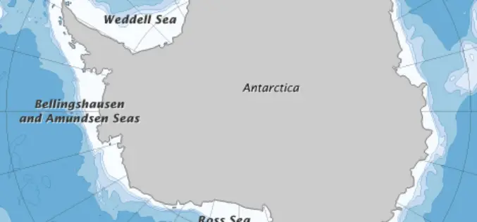
Error Discovered in Antarctic Sea-ice Record
Rising temperatures have caused the amount of Arctic sea ice to shrink dramatically since global observations began in the 1970s. But on the other side of the world, sea ice

Noida to be Mapped in 3D
In recent news, the Noida Authority is getting set to create a 3D model of the city. This will be first city in Uttar Pradesh to be mapped in 3D.

15th Esri India User Conference 2014
15th Esri India User Conference 2014 9-11 December 2014, Kempinski Ambience Hotel, Delhi It happens every winter in Delhi. The biggest GIS event of the year. The conference that 99
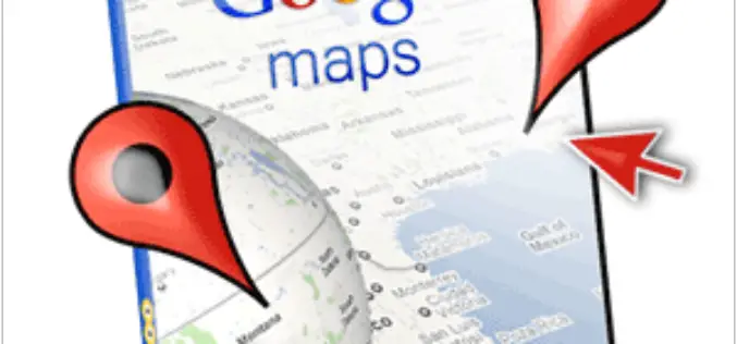
Google Mapping Comes Under CBI Scrutiny
CBI has registered a preliminary enquiry (PE) against internet giant Google over Mapathon 2013, an event organised by the U.S. company, for allegedly violating laws by mapping sensitive areas and
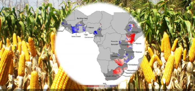
Water, Water — Not Everywhere: Mapping Water Trends for African Maize
Today’s food production relies heavily on irrigation, but across sub-Saharan Africa only 4 percent of cultivated land is irrigated, compared with a global average of 18 percent. Small-scale farming is

SuperSurv 3.2 Beta Launched for Intuitive GIS Data Capture
Supergeo launched SuperSurv 3.2 (Android) Beta for global users. The new app will possess more practical functions, enhance user interface and improve query and way point efficiency, providing users with
Supergeo Invest in Innovative Geographic Network Analysis for Next Generation GIS Products
Supergeo Technologies, a leading global provider of GIS software and solutions, announces the investment plan in advanced geographic network applications. The technology collaboration is conducted by Supergeo and the Department

The Geographic Calculator 2014, SP1 Now Available with New Jobs to Streamline Workflow
Hallowell, Maine – July 22, 2014 – Blue Marble Geographics (bluemarblegeo.com) is pleased to announce the release of the Geographic Calculator 2014 Service Pack 1 (SP1). This interim release features new

Esri and European Schoolnet Partner to Deliver Geographic Education Internationally
More Than 30 Ministries of Education to Gain Access to ArcGIS Online Redlands, California—School systems across Europe will soon have access to the world’s leading online mapping software for delivering

Upcoming Changes to USGS ESPA Processing and Output options of Surface Reflectance Climate Data
Today I received an email from USGS as a notice of changes coming soon to the USGS EROS Science Processing Architecture (ESPA) interface (https://espa.cr.usgs.gov/) , that allows you to process Landsat 4/5 Thematic

