
Posts From GIS Resources
ISRO Inviting Proposals for Utilizing Chandrayaan-2 Data for Scientific Analysis
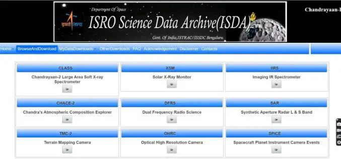
ISRO has made Chandrayaan-2 Orbiter payloads data available to the public for scientific analysis. The Chandrayaan-2 mission was successfully launched on 22nd July 2019 at 14:43 hrs by GSLV MkIII-M1
IIIT Hyderabad Develops New Low-cost Location Tool to Track Assets
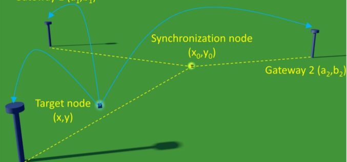
At IIIT Hyderabad researchers have developed a new localization technique that doesn’t use Global Positioning System (GPS) rather uses the Long Range Wide Area Network (LoRaWAN) technology which will provide
China Launches Two Microwave Satellite System – Tianhui 2
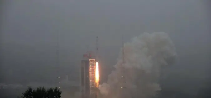
China successfully launched the Tianhui 2 microwave surveying satellite system using a Long March-4B carrier rocket that blasts off from the Taiyuan Satellite Launch Center in north China’s Shanxi Province,
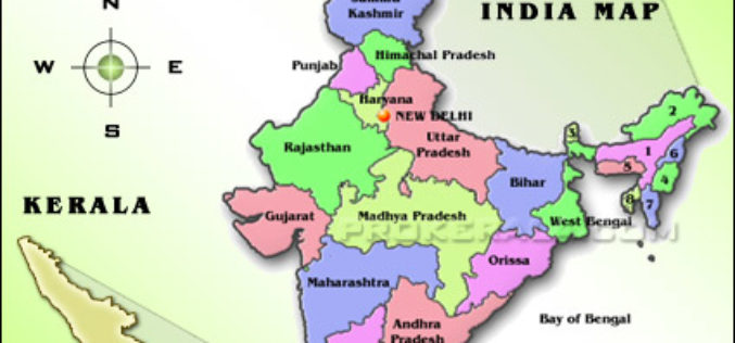
CORS Network to Complete Digital Land Resurvey in Kerala
Kerala State Government has given a nod to extended Digital Land Resurvey for 1,550 villages at cost of ₹807.98-crore. The project is expected to complete the resurvey of land over

Onlinemaps Portal, SARTHI, and MANCHITRAN – Launch of 3 Online Applications to Purchase Geospatial Data Collected by Govt. Organizations
The Govt. of India in Feb 2021 announced the liberation of the Geospatial Policy of India. It has announced a new Geospatial policy to unlock new avenues for business, private

BRICS Space Agencies Signed Agreement for Cooperation in Remote Sensing Satellite Data Sharing
Under India’s BRICS Chairship, the BRICS Space Agencies Heads have signed an agreement for cooperation in remote sensing satellite data sharing on August 18, 2021, in the presence of Mr.

Insights and Reports You’ll Need with Your Time Tracking Software
The entire work scenario has seen a complete overhaul due to the policies and working-at-home regime that began with COVID-19. An average person spends 8 to 12 hours a day

NV5 Geospatial Expands Mobile Mapping Fleet with State-of-the-Art RIEGL VMX-2HA Platform
RIEGL today announced that NV5 Geospatial, North America’s largest geospatial data firm, has acquired the new RIEGL VMX-2HA dual scanner mobile mapping system. The solution will initially deploy in utility

RedTail LiDAR Systems Unveils Innovative LiDAR System for Small Drones
RedTail LiDAR Systems, a leader in microelectromechanical systems (MEMS) mirror-based LiDAR technology, has unveiled the market introduction of the RTL-450 LiDAR sensor. The product will be launched at the XPONENTIAL
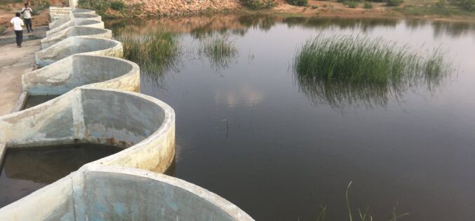
How Remote Sensing and GIS are Used to Build Check Dams Under MGNREGA?
Remote Sensing and GIS are useful to identify and choose a suitable site or probable locations for check dams. This helps to ensure best site for check dam’s construction and to prevent unscientific construction.
