To develop is to move forward. Conserving whatever is left of the Environment is equally important. Development is local/regional. Impact of environmental degradation is global. Development adversely impacts environment. Environment preservation suffers at the cost of development. And we have only one planet.
It is a catch 22 situation. There is no argument against development but should there always be a conflict between development and environment preservation & environment rejuvenation.
Environment Impact Assessment (EIA) is a part of any urban or infrastructure development project. Often not much importance is given to EIA resulting in long term environmental degradation. The need is to have a realistic EIA and then to integrate Developmental activities with environmental concerns so as to achieve both objectives. This is easier said than done but is not impossible.
Smart Technologies, combined with Artificial Intelligence (AI), and Geospatial Information Systems (GIS) must be harnessed to create Infrastructure development plans, alternative Energy generation resources, alternate building materials and all such resources required for development in a manner that their environmental impact is not only minimal but also supports further environment rejuvenation.
We can choose to degrade the environment only at our own peril.
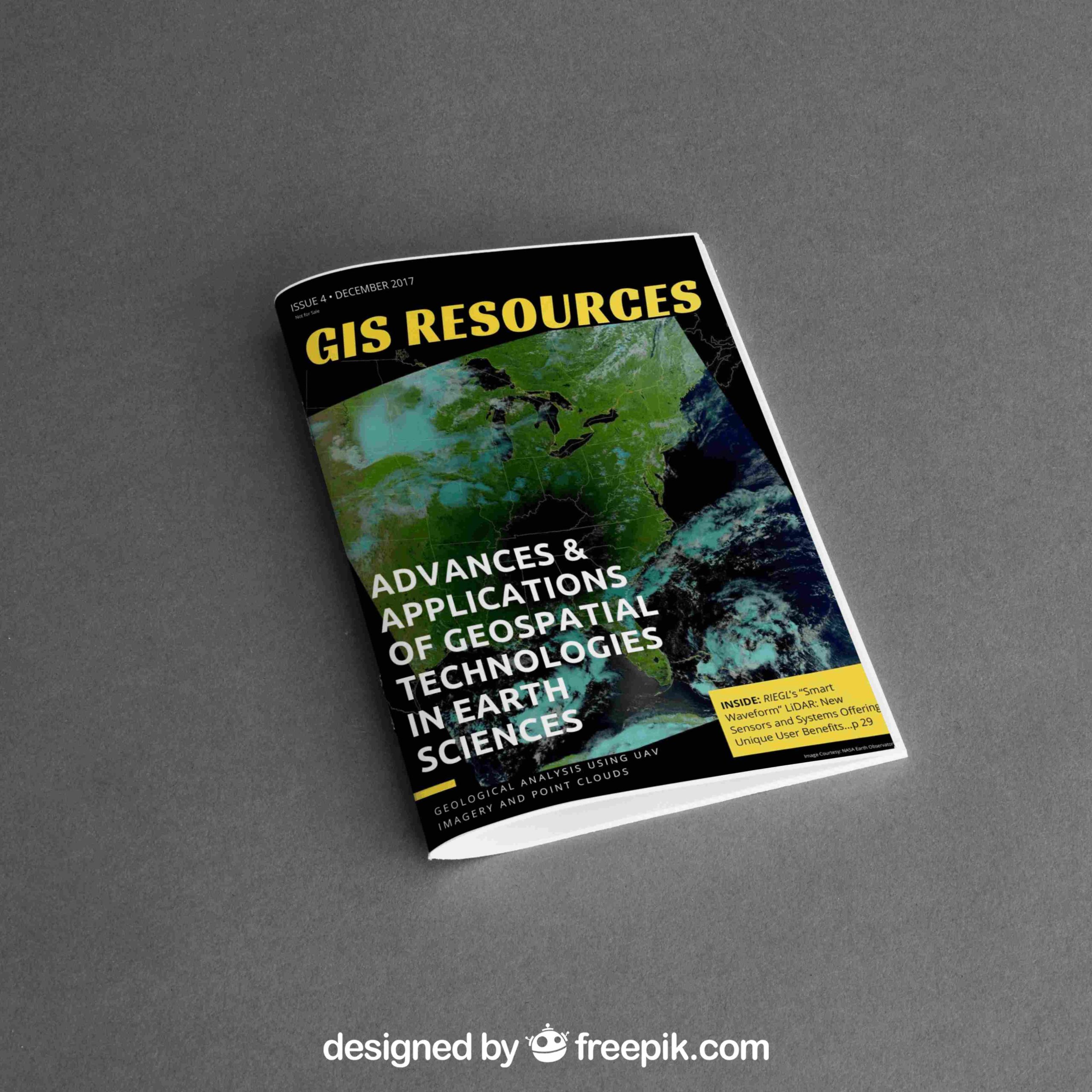
The magazine issue of December 2017 focuses on the “Advances & Application of Geospatial Technologies in Earth Sciences“. The issue gives information about geospatial technologies/solutions and developments trending in research and academics. The magazine features article leading industries – RIEGL, Hexagon Mining, SI Imaging Services and DEIMOS IMAGING.
The edition also features article on the use of UAV, LiDAR, GIS, and Remote Sensing technology in various earth sciences domains, such as “Topographic Analysis for Hazards, Hydrology, and Geomorphology using LSDTopoTools – by Simon” and “Massive Antarctic Iceberg’s Changes Monitored from Space – by DEIMOS IMAGING“.
Also, check out RIEGL’s “Smart Waveform” LiDAR sensors and systems offering and unique user benefits.