
Archive
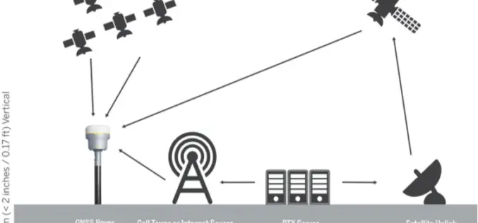
Trimble Webinar: Untethered Surveying with CenterPoint RTX
Join the webinar for a Trimble Business Center and Trimble Access Webinar for streamline surveying workflow If you are a Surveyor dependent on a VRS network or base station coverage
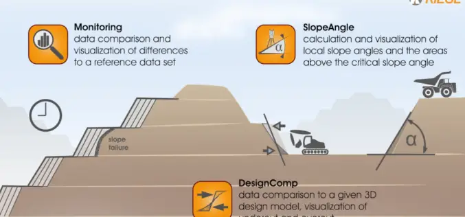
RIEGL VZ-i Laser Scanners Support the Step Towards the “Remote Operated Digital Mine”: Easy-to-use, Intuitive Mining Apps for Autonomous Data Acquisition and Processing
Remote Operation is the keyword of our time, even applying itself to the mining industry. The VZ-i Series of 3D terrestrial laser scanners are ready to meet the demanding challenges
RIEGL Webinar on Mine Planning, Landslide Monitoring, and Topography Scanning with New RIEGL Tools!
This FREE webinar is for those of you to show you RIEGL LiDAR tools for mine planning and topography surveying, along with different workflows.

Steps to Follow to Become Amazon AWS Certified Solutions Architect Associate. Are Practice Tests Helpful?
International companies are shifting their attention more on the AWS technology these days. Obtaining the AWS Certified Solutions Architect Associate certification is an important milestone for your career.
Golden Software Enhances Surfer Visualization Functionality for Deeper Data Insights
Golden Software, a developer of affordable 2D and 3D scientific modeling packages, has enhanced visualization and other functionality in the new version of its Surfer gridding, contouring and 3D surface
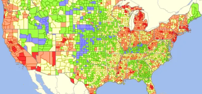
GIS Analytics Server of U.S. Federal Statistical Data
The Visual Data Analytics (VDA) Mapserver is a web-based, interactive mapping and geospatial analysis resource for U.S. Federal statistical data that is developed from the TatukGIS Developer Kernel for ASP.NET

Geospatial Technologies in Fire protection Infrastructure Development
Fire can be both a boon and a bane. As a boon, it is vital in supporting life. It is a bane when, out of control, it destroys life and

GIS Resources Magazine (Issue 4 | December 2020): Geospatial Technologies in Fire Protection Infrastructure Development
GIS Resources is pleased to announce the release of its 4th edition (December 2020) of the print and digital magazine. The edition titled “Geospatial Technologies in Fire Protection Infrastructure Development” focuses on the role of geospatial technologies in the development of fire protection infrastructure development.
