
Archive

Topcon Introduces GT-1200 and GT-600 Robotic Total Stations
Topcon Positioning has introduced new flagship GT Series robotic total stations. The GT-1200 and GT-600 total stations are available in multiple accuracy levels and are suitable for survey, construction, and machine
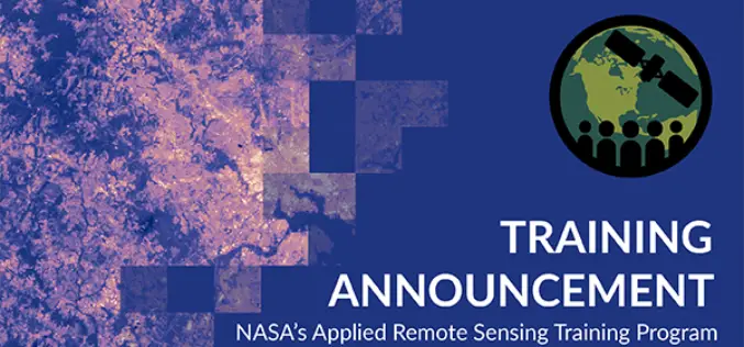
NASA ARSET – Introductory Webinar: Satellite Remote Sensing for Urban Heat Islands
Tuesdays, November 10 – November 24, 202010:00-11:30 EST (Session A) or 16:00-17:30 EST (Session B) The rapid growth of urban populations, the urban heat islands (UHI) effect, and a potential

India-US to Sign Basic Exchange and Cooperation Agreement for Geospatial Cooperation
In the third round of India-US two-plus dialogue both the countries agreed to sign the Basic Exchange and Cooperation Agreement for geospatial cooperation. The third round of ministerial dialogue is

Kochi Metro Rail Completes LiDAR Survey for Kochi Water Metro
Kochi, the commercial capital of Kerala is the second-largest city along India’s western coastline, after Mumbai. The backwaters network of brackish lagoons and lakes lying parallel to the Arabian Sea

Velodyne LiDAR Announces Three-Year Sales Agreement with Baidu
Velodyne LiDAR, Inc. (Nasdaq: VLDR) today announced a three-year sales agreement with Baidu for its Alpha Prime™ LiDAR sensors. The Alpha Prime LiDAR sensors will be utilized for autonomous applications. Velodyne’s low-cost, high-scale

INTERGEO 2020 DIGITAL, October 13-15, 2020: RIEGL Presents Their New Products 2020
2020 is a very special year – COVID-19 has taught us to think in new dimensions and to work in new spheres. Nevertheless, RIEGL does not want to break with
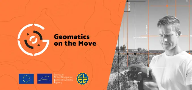
Geomatics on the Move – A Challenge for Innovators Across the EU
The European GNSS Agency (GSA), the operating agency of the European Commission for Galileo and EGNOS has launched Geomatics on the Move (#GeomaticsOnTheMove) challenge for innovators across the European Union.

Inclusion of Geospatial Subject in GATE and NET Exams
The All India Council of Technical Education (AICTE) has given approval on the inclusion of Geospatial subject GATE and NET examinations. The AICTE has taken the move on the recommendation
Africa & Indian Ocean Region to Receive SBAS Signals
ASECNA, the Agency for Air Navigation Safety in Africa and Madagascar has launched SBAS (Satellite Based Augmentation System) services in Africa and the Indian Ocean region. It is believed that
