
Archive

Choosing the Best Web Hosting Platform
Having a website is one of the fundamentals for all types of business. Whether you are a designer, photographer, or a freelancer, having your own website is a great
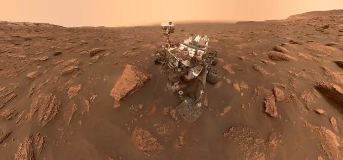
Why Countries are in Rush to Mars Exploration?
Mars often known as the ‘Red Planet’ of our solar system has been in the human imagination for centuries. Mars is the 2nd smallest planet and the most shouted planet for scientific exploration.
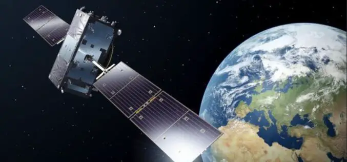
GNSS Market Trends in Asia – GNSS.asia Report Must Read for GNSS Companies Looking To Do Business in Asia
GNSS.asia has recently published its first report on GNSS market trends and developments in the Asian market. The report is a must-read for GNSS companies doing business in Asian
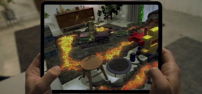
Apple iPad Pro LiDAR scanner – Why and How it Works?
Apple has launched its most advanced iPad Pro in the mid of March 2020. Maintaining its legacy, the new iPod Pro many new advanced features such as an Ultra
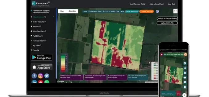
Satellite-Based Crop Health Monitoring System to Help Farmers
Farmonaut started in 2018 with a vision to bridge the technological gap between farmers and strives to bring state-of-the-art technologies in the hands of every farmer.
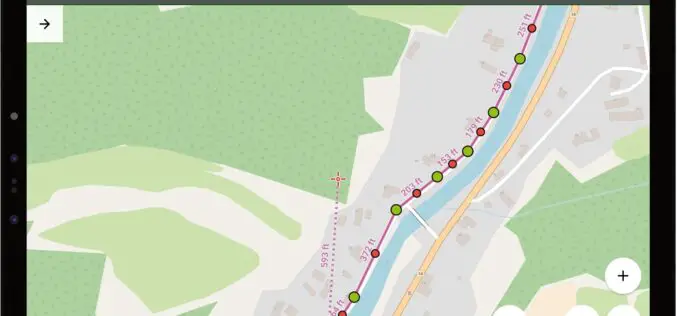
Locus GIS to Collect Geospatial Data with a Comfort of Your Mobile Phone, Even Without the Need of Internet
The collection of geospatial data in the field has always been a weary task. Here is good news for all the professionals and enthusiasts in the field of geospatial
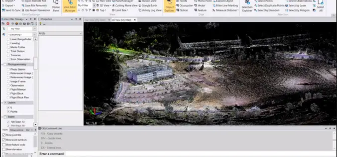
What’s New in the Trimble Business Center v5.31
Trimble Geospatial has recently announced the release of its flagship product Trimble Business Center v5.31 (TBC v5.31). Trimble Business Center is a back-office software enabling surveyors and geospatial professionals
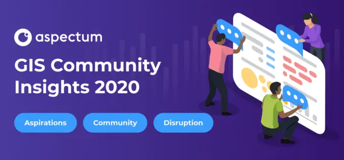
Mandatory Coding Skills are Named a Major Pain Point of GIS Specialists: Aspectum has Published GIS Community Survey
Aspectum, a cloud service for data analytics, has published the findings of its research on the overall situation in the GIS industry. The GIS Community Survey has become the
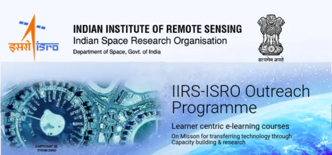
Register for IIRS Online Courses on Remote Sensing, GIS & GNSS Applications
About IIRS The Indian Institute of Remote Sensing (IIRS) foundation, is a constituent unit of Indian Space Research Organization (ISRO), Department of Space, Govt. of India. Since its foundation in
