
Archive

The Role of Geospatial Technologies in Archaeology to Preserve Heritage Monuments
The Pink City, Jaipur has recently been certified as a World Heritage City by UNESCO. It is a matter of pride not only for the city and its
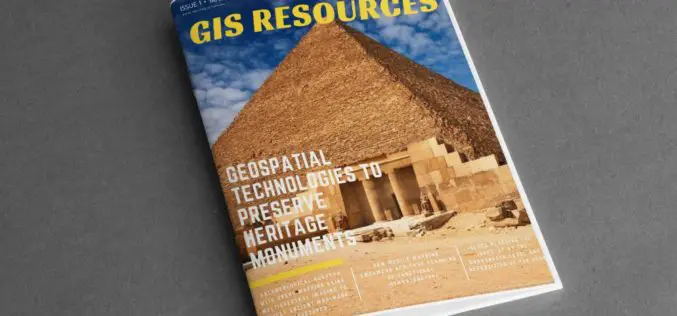
GIS Resources Magazine (Issue 1 | March 2020): Geospatial Technologies to Preserve Heritage Monuments
GIS Resources is pleased to announce the release of its 1st edition (March 2020) of the print and digital magazine. The edition titled “Geospatial Technologies to Preserve Heritage Monuments” focuses

Bentley Systems Announces the Acquisition of GroupBC, UK Leader in Cloud Services for Construction Information Management
Advancing Project and Asset Common Data Environments (CDEs) through Digital Twins LONDON, UK – March 11, 2020 – Bentley Systems, Incorporated, a leading global provider of comprehensive software and digital

Volumetric Calculations for Stormwater Retention Ponds, Basins & Quarries
Integration with CAD Enhanced AARSCHOT, Belgium, 2 March 2020 – Virtual Surveyor has released Version 7.1 of its popular drone surveying software, introducing functionality to efficiently calculate volumetrics in quarries,
