
Archive
GIS
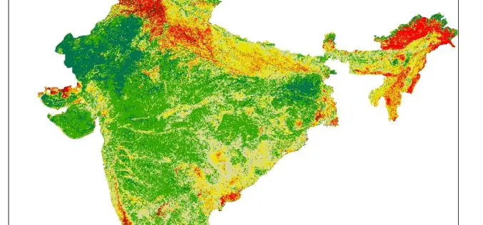
Pan India Drought : A Near Reality – An Analytical Story
Contributed By: This analytical story is about Drought, its frequency and intensity across India. This story emerged while working on Drought Vulnerability Management System. This story is due to effort put
Software
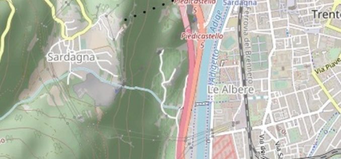
TatukGIS Hosted OpenStreetMap Tile Server
TatukGIS hosted OSM (world map) web tile servers are available as a free service for use with TatukGIS software, including custom GIS applications developed by customers using the TatukGIS Developer

Business
RIEGL Continues on Course for Success: RIEGL Invests in New Office and Production Facilities!
New, additional facility expansions at the headquarters in Austria as well as a new facility in the United States. RIEGL, an internationally successful manufacturer of LiDAR scanners for surveying applications
