
Archive
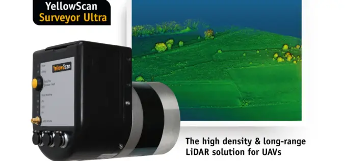
YellowScan Unveils Its New UAV-LiDAR System
Montpellier, 5 February 2018 – The Surveyor Ultra is the new system from YellowScan, integrating the Velodyne VLP-32C scanner & the Applanix APX-15 IMU. Thanks to its high-density (600 000 shots per second), the
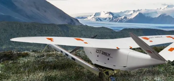
Delair Introduces Industry’s Most Advanced Fixed-Wing UAV for LiDAR-Based Aerial Surveying and 3D Mapping
New Delair DT26X LiDAR drone combines LiDAR sensing with RGB camera data to enable highly accurate and high-resolution 3D representation and measurement over large areas with minimal flights and in
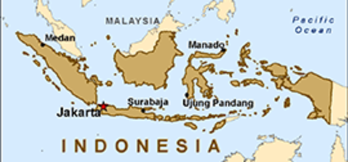
Indonesian Peat Prize Announces 1 Million US Dollar Competition Winner
Indonesian Peat Prize Announces 1 Million US Dollar Competition Winner: International Peat Mapping Team: Remote Sensing Solutions GmbH (RSS), Agency for Assessment and Application of Technology (BPPT), and Sriwijaya University

EarthSense Appoints Thomas Hall as Managing Director
February 1, 2018 – EarthSense Systems, the air quality monitoring, measuring and modelling specialist, has appointed Thomas Hall as Managing Director. A remote sensing specialist with over 19 years’ experience

Teledyne Optech announces Michael Perdue as new Director of Customer Service
January 31, 2018 — Teledyne Optech is pleased to announce that Mr. Michael Perdue is joining the company as Director of Customer Service starting February 1. Mr. Perdue’s arrival is
