
Archive

TerraGo Adds TopCon® GNSS Receiver Integration to Mobile Data Collection Platform
With TerraGo Magic, partners and customers can build custom mobile apps integrated with Sokkia high-accuracy receivers that deliver RTK cm-level performance to smartphones and tablets Washington, D.C. – August 14,

UrtheCast Announces the Signing of a Contract exceeding $100M for the Delivery of a SAR-XL Satellite as an “Accelerator Mission” for the OptiSAR™ Constellation
VANCOUVER, Aug. 14, 2017 /CNW/ – UrtheCast Corp. (TSX:UR) (the “Company”) announced today that it has entered into a contract with a confidential customer for the development and delivery of

Vricon among First Companies on GSA Earth Observations Solutions
McLean, VA – 14 August 2017 –Vriconannounced today that it is among the first companies to offer GEOINT solutions on the General Services Administration’s (GSA) new Earth Observations Solutions Special
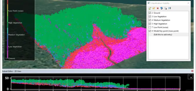
CARIS Bathy DataBASE 4.4 Released
Fredericton, NB, Canada – August 09, 2017 – Teledyne CARIS™ is pleased to announce the release of Bathy DataBASE™ (BDB) 4.4. This new version addresses the important areas of feature generalization
Portland State Laser Mapping Project Shows Global Warming Effects in Antarctica
(Portland, Ore.) Aug. 9, 2017 – Portland State University researchers and the National Science Foundation (NSF) have publically released high-resolution maps of the McMurdo Dry Valleys, a globally unique Antarctic
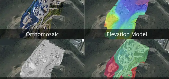
3 New Elevation Viewers, Now in Site Scan
August 9, 2017 – One of the most common uses for Site Scan is performing topographic surveys: you can use a drone to survey your site faster, safer, and more cost-effectively,

Velodyne LiDAR Appoints Robert Brown as Chief Financial Officer
August 08, 2017 – SAN JOSE, Calif.–(BUSINESS WIRE)–Velodyne LiDAR Inc., the world leader in 3D real-time perception systems for autonomous vehicles, today announced Robert (Bob) Brown has joined the company as

CompassDrone™ Announces CIRRUAS Drone Program for Public Safety Agencies
CENTENNIAL, Colorado, 10 August 2017 – CompassDrone, developers of unmanned aerial solutions for high-quality data collection, will unveil a comprehensive drone-based mapping program designed specifically for Public Safety applications. The
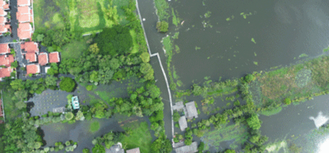
Tamil Nadu Government Started UAV Survey to Map Flood-Prone Areas
According to recent news by The Hindu, the Tamil Nadu Government in association with Anna University has launched an Unmanned Aerial Vehicle (UAV) for Photogrammetric mapping of water resources in Cuddalore

Esri and Smart Dubai Sign Enterprise Agreement
Agreement Empowers Dubai Government with Resources for Smart City Advancement August 8, 2017 – Redlands, California—Esri, the global leader in spatial analytics, announced today that Smart Dubai, the government agency leading
