
Archive
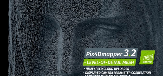
Pix4Dmapper 3.2 Now Generates Tiled Level-of-Detail (LoD) Mesh
May 2, 2017 – Today, we are happy to announce our Pix4Dmapper Desktop 3.2 release. The new version has great advancement in stability and usability – Upload desktop projects to cloud

China Adopts Revised Surveying and Mapping Law – Protecting National Security & Raising Public Awareness
China – April 28, 2017 – China’s top legislature Thursday passed a revised surveying and mapping law, protecting geographic information security and raising public awareness of national territory. The legislation

Uttar Pradesh: New Government Schools Only After GIS Mapping
Uttar Pradesh, India – According to recent news by The Hindustan Times, Uttar Pradesh will now get new government-run primary and upper primary schools only after completion of Geographic Information System
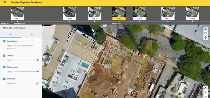
More efficient construction management with Pix4Dbim
More efficient construction management with Pix4Dbim The importance of easy data visualization for Jobsite documentation Project info Project Description A volcanic archipelago in the Central Pacific of only 11,000 square miles, Hawaii
