
Archive
Business
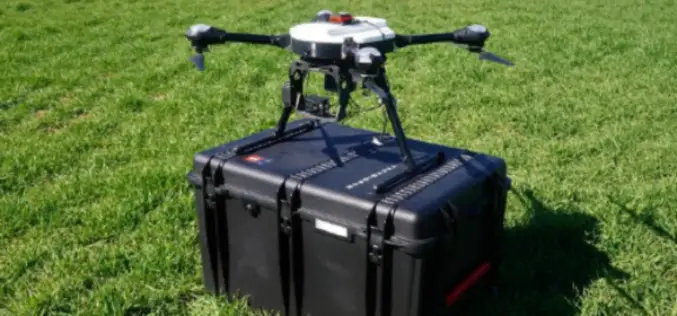
Comparable Maps, Anytime, Thanks to Pix4D and Sequoia Sunshine Sensor
Consistent Index Maps When you are a service provider with high client expectations, you need to be able to obtain quality results on a regular basis. When it comes to

Geodesy
NASA Awards Very Long Baseline Interferometry Support Services
GREENBELT, Md., March 30, 2017 /PRNewswire-USNewswire/ — NASA has awarded the follow-on contract for Very Long Baseline Interferometry (VLBI) Support Services to NVI, Inc., of Greenbelt, Maryland. This is a
Remote Sensing
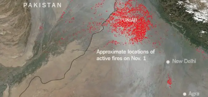
Punjab to use Remote Sensing and SMS Technology to Battle Against Crop Residue Burning
According to recent news reported by the Times of India, Punjab is set to make its battle against crop residue burning real time, with the state authorities using geospatial data
