
Archive

Trumbull Unmanned Using SimActive for Emergency Response
Montreal, Canada, April 18th, 2017 – SimActive Inc., a world-leading developer of photogrammetry software, is pleased to announce that Trumbull Unmanned is using Correlator3D™ as part of their emergency response
KARI and SIIS Announce Starting KOMPSAT DRS (Direct Receiving Station) Service in DLR
KARI (Korea Aerospace Research Institute, www.kari.re.kr) and SIIS (SI Imaging Services, www.si-imaging.com) are very pleased to announce that on April 1, we began to offer KOMPSAT (Korean Multi-Purpose Satellite) DRS
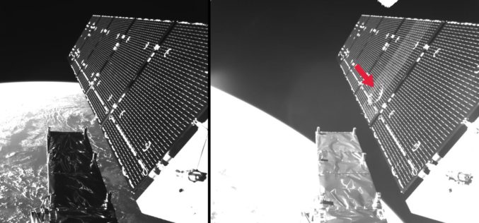
Microsatellites, Megaconstellations and Strategies for Combatting Increasing Volumes of Space Debris
7th European Conference on Space Debris in Darmstadt from 18 to 21 April Microsatellites, mega constellations, and strategies for combatting increasing volumes of space debris Approximately 350 scientists, engineers, managers
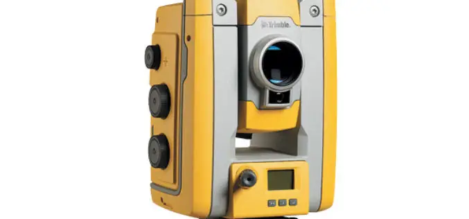
Trimble’s New Total Station Provides Millimeter Accuracy for Monitoring Applications
Trimble S5 Ti-M Features FineLock Technology—Locks onto Targets with Precision in Congested Work Areas SUNNYVALE, Calif., April 12, 2017—Trimble (NASDAQ: TRMB) announced today the release of a new monitoring device,

Global Push for Earth Observations Continues
The Group on Earth Observations (GEO) has been working for more than a decade to open access to Earth observation data and information, and increase awareness around their socioeconomic value.
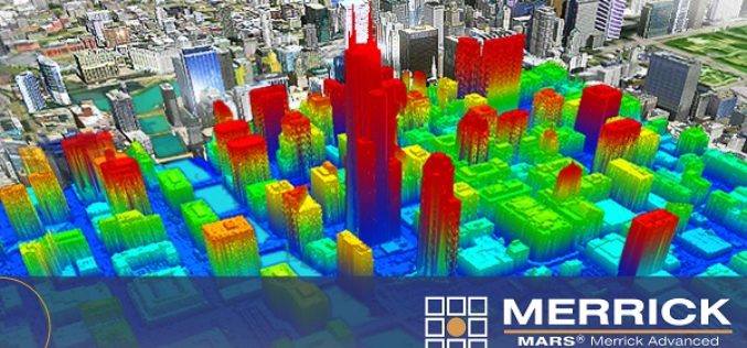
Merrick Releases MARS® 2017 Software Suite
Merrick & Company, a global leader in light detection and ranging (LiDAR), digital orthophotography, hyperspectral imaging, and geographic information systems (GIS) data integration, is pleased to announce the release of

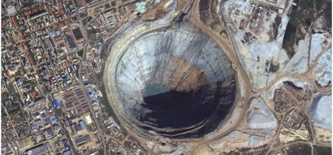
China Draws 3D Topographic Map of Antarctic Seabed
Chinese scientists have created a three-dimensional, digital topographic map of the Antarctic seabed using data collected during a recent expedition. The map was presented at a press briefing held Friday

InterDrone 2017 – The International Drone Conference and Exposition
InterDrone 2017 – The International Drone Conference and Exposition September 6-8 in Las Vegas After an impressive show last year (3,518 delegates from 54 nations and rave reviews) InterDrone returns
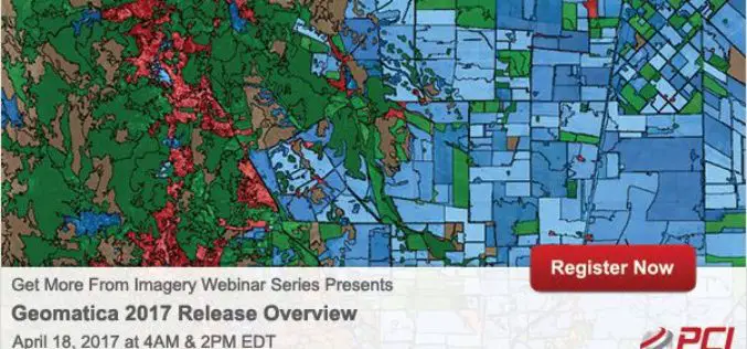
Get More From Imagery Webinar Series: Geomatica 2017 Release Overview
Geomatica 2017 Release Overview April 18, 2017 | 4AM & 2PM (EDT) Geomatica 2017 represents one of the biggest software releases from PCI Geomatics in several years. Geomatica 2017 provides much

Hawaii Launches Geospatial Data Portal
According to recent news, the state Office of Planning’s Hawaii Statewide Geographic Information System (GIS) Program launched a new Geospatial Data Portal, which provides streamlined access to hundreds of data
