
Archive

How Geospatial Characteristics Affect Those Most Affected by HIV
PHILADELPHIA (February 6, 2017) – Young men who have sex with men (YMSM), particularly racial/ethnic minorities and youth living in socioeconomically disadvantaged communities, are disproportionately affected by the human immunodeficiency

OGC to Initiate Phase 1 Development of Interoperability Standards for Underground Infrastructure Data
7 February 2017 – The Open Geospatial Consortium (OGC®) is pleased to announce that the Fund for the City of New York and its sister organization, the National Center for Civic
Cesium’s 3D Tiles Selected for Swiss Geospatial Portal
Swiss government agency adopts Cesium & its 3D Tiles format to offer extensive national geodata collection via BETA Version of an online interactive portal. PRWeb – Switzerland’s national mapping agency,
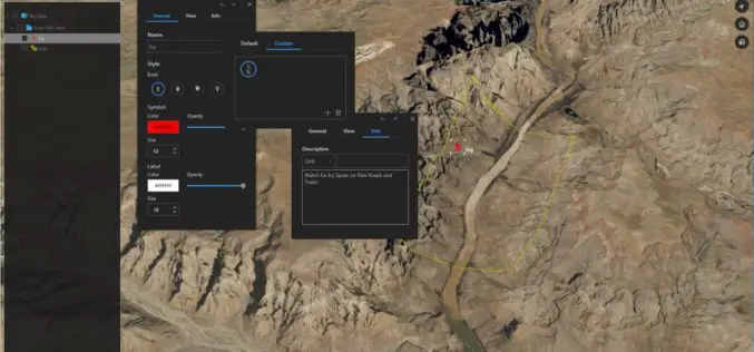
Download for Free – Esri Release ArcGIS Earth 1.4
Recently Esri 3D team has announced the release of ArcGIS Earth 1.4. ArcGIS Earth 1.4 introduces great new features that will enhance workflows for visualizing data, accessing portals, and sharing across
OmniEarth Applies Machine Learning to Multiple Satellite Sources for Improved Soil Moisture Mapping
The US Defense Advanced Research Projects Agency (DARPA) has awarded OmniEarth a Small Business Innovation Research (SBIR) Phase I contract to develop a precision soil moisture mapping model in support

ILMF 2017: YellowScan Launches YellowScan LiveStation
ILMF 2017: YellowScan launches YellowScan LiveStation, Real-time in-flight LiDAR Station, a must for long endurance and critical LiDAR flights Yellowscan is very pleased to announce the launch of the YellowScan
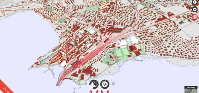
ENVITIA Launches MapLink Pro 10.0
ENVITIA is proud to announce the release of the next generation of MapLink Pro centered around the theme of speed. Speed in visualization of dynamic data, speed in the manipulation

DigitalGlobe Completes Testing and Calibration of WorldView-4 and Begins Serving the Satellite’s First Direct Access Customer
WorldView-4 completed its testing and calibration phase and began serving its first direct access customer on February 1st 2017. WESTMINSTER, Colo.–(BUSINESS WIRE)–Feb. 3, 2017– DigitalGlobe, Inc. (NYSE: DGI), the global
NovAtel Unleashes Powerful New Positioning Capabilities with the Release of 7.200 Version Firmware
Calgary, Canada, February 2, 2017 – NovAtel’s commitment to precise, ASSURED positioning is central to the launch of our OEM7 7.200 version firmware. Announced today in Calgary, 7.200 firmware introduces
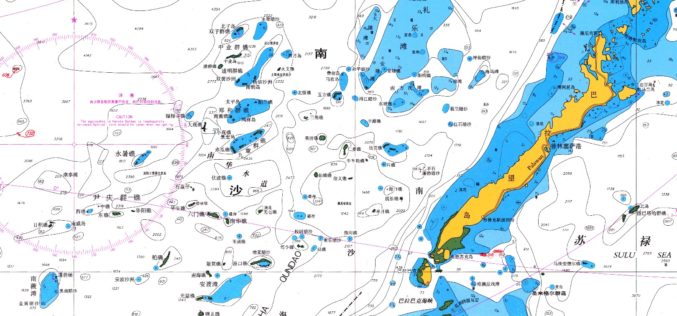
East View Expands South China Sea Imaging Capabilities
MINNEAPOLIS, Minn. – January 31, 2017 – East View Geospatial is enthusiastic to announce the expansion of analytic services in the South China Sea for foundation data and satellite imagery.
