
Archive
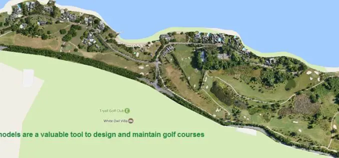
Three Reasons Golf Courses Are the Next Drone Mapping Territory
The emerald golfing greens have seen better days. According to the US National Golf Foundation, the number of players has almost steadily declined from over 30 million in 2005 (pre-recession),
Golden Software Releases Surfer 2D and 3D Mapping, Modeling, and Analysis Software
Latest Version Includes Contour Line and Grid Editing Features, User Interface Improvements, Image Georeferencing, Streamlined Workflows, and Access to Online Data. GOLDEN, COLORADO, February 14, 2017 – Golden Software, the

Sanborn Announces Launch of GeoServe LiDAR Viewer and QC Interface
Online LiDAR Viewer Will Streamline Client QC Processes, Ensure Quality Results, and Expedite Project Delivery COLORADO SPRINGS, Colo., Feb. 14, 2017 /PRNewswire/ — The Sanborn Map Company, Inc. (Sanborn) announces

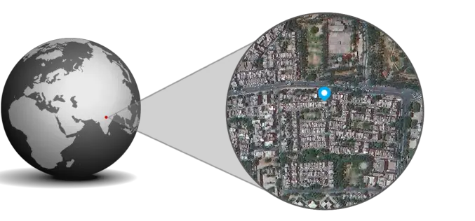
ISRO Successfully Launched Cartosat-2 Series Satellite Along with 103 Co-passenger Satellites
Sriharikota, India – In its thirty-ninth flight (PSLV-C37), ISRO’s Polar Satellite Launch Vehicle successfully launched the 714 kg Cartosat-2 Series Satellite along with 103 co-passenger satellites today morning (February 15,
Aerial LiDAR Survey of Rail Corridor Between Mumbai and Ahmedabad
According to recent news reported by TOI, The railways will use LiDAR technology -aerial survey using a chopper -to speed up work on India’s first high-speed train corridor between Mumbai

BRICS Nations to Share Data from Remote Sensing Satellites
IANS – Bengaluru: The five-nation group of BRICS will share spatial data on natural resources from their remote-sensing satellites for utilizing space assets optimally, said a top Indian space official on

OGC Invites Expertise on Underground Maps and Models
February 13, 2017: The Open Geospatial Consortium (OGC®) is requesting information from interested parties to inform a Concept Development Study (CDS) that will assess the current state and future direction
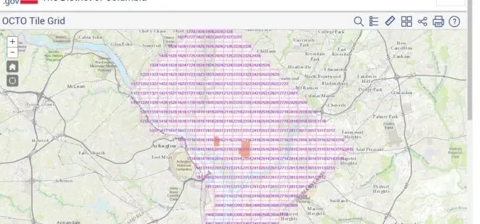
Classified LiDAR Point Cloud of Columbia Available on Amazon S3
According to recent updates on Amazon AWS, LiDAR point cloud data for Washington, DC is available for anyone to use on Amazon S3. The dataset, managed by the Office of the Chief

NATMO Prepared Braille Atlas for Visually Impaired
New Delhi, India – According to recent news reported by the Business Standard, the Union Minister for Science & Technology and Earth Sciences Dr. Harsh Vardhan released the Special Edition of
MapmyIndia Releases eLoc,India’s first Nation-wide Digital Address System
● Simple, precise and ready-to-use for free eLoc,is a unique, 6 character code for any address across India, removing complexity and hassles of providing multi-line, often misspelled addresses and searching
