
Archive

Invitation to Submit Abstracts to AOGS Session on Satellite Remote Sensing of Air Quality
Satellite Remote Sensing Methods and Data Applications for Air Quality Monitoring and Research in Asia Abstract to Session #AS15 of the 2017 AOGS (Asia Oceania Geosciences Society) Annual Meeting (August

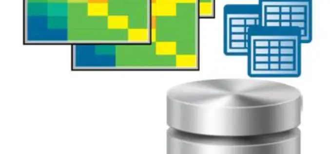
HazardHub Democratizes Hazard Risk Data with New API
For the first time, geographic risk data is available via a real-time API for inclusion to clients’ internal systems. San Diego, CA (PRWEB) January 17, 2017 – HazardHub, the nation’s first
INSPIRE WCS Adopted
Last month INSPIRE officially adopted the OGC Web Coverage Service (WCS) as INSPIRE Coverage Download Service. Jordi Escriu, Facilitator of the corresponding Thematic Cluster 3, calls “WCS the natural way
The Excellent Helper for Processing Spatial Data—SuperGIS Desktop
As people get more dependent on making use of spatial information in our daily lives, it appears to be even more important to think about how to manage and share
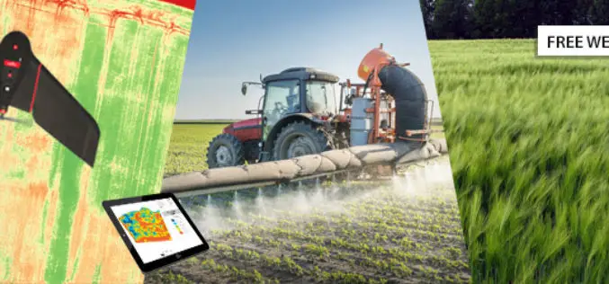
senseFly Webinar: Ag Drone Insights
Ag Drone Insights Experienced agronomists discuss UAV applications, results, ROI & more Tuesday, JAN 24, 2017 In this webinar you will learn: How to choose, adopt, & operate drone tech The

AGI and Bentley Systems Announce Cesium Consortium
Bentley Systems Joins the Creators of Cesium to Accelerate Open-Source Development for Cesium’s Virtual Globe Technology EXTON, Pa., U.S.A. – Analytical Graphics Inc. (AGI) and Bentley Systems are pleased to
Esri Releases Advanced Analytics to Increase Retail Sales
Indoor Spatial Analysis of Consumer Behaviors Boosts Profits and Increases Customer Satisfaction January 17, 2017 – Redlands, California—Esri, the global leader in spatial analytics technology, today announced a partnership with GISinc

JNARDDC and MRSAC are Developing Bauxite Mining App
Nagpur-India: According to recent news by The Times of India, the Jawaharlal Nehru Aluminium Research Development and Design Centre (JNARDDC), Nagpur, in collaboration with the Maharashtra Remote Sensing Application Centre (MRSAC),

PCI Geomatics Marks Milestone in Cloud-Based Image Processing
MARKHAM, Ontario, Canada, January 17, 2017 — PCI Geomatics, a world-leading developer of remote sensing and photogrammetric software and systems, announced today that it is six years since it began
DataMapper Releases Triangular Greenness Index App
DataMapper has recently introduced Triangular Greenness Index app in the DataMapper’s Algorithm Marketplace. Triangular Greenness Index is developed by Exogenesis, an advanced GIS and remote sensing company, the app is a highly
