
Archive

Iran Signed Deal on Remote Sensing Satellite Signed by Russia
TEHRAN, Oct. 02 (MNA) – ICT minister Mahmoud Vaezi said the final agreement for the construction and launch of the National Remote Sensing Satellite has been signed by the Russian satellite

University of the Cordilleras Launches GIS Based Dengue Surveillance System
BAGUIO CITY – Following the increase of dengue cases in the Summer Capital, the University of the Cordilleras will pilot test several barangay for its Geographic Information System-based dengue and

Global Mapper v.18 Now Available with Improved User Interface and Full Range Rendering of 3D Data
Blue Marble Geographics is pleased to announce the immediate availability ofGlobal Mapper version 18 . The culmination of an extensive design and development effort, this major version release boasts a

TomTom Launches On-Street Parking Service to Help Drivers Find that Parking Spot More Quickly
Paris Motor Show, 29 September 2016 – TomTom (TOM2) today announced the introduction of an On-Street Parking service, a game-changer for drivers on the hunt for that hard to find

senseFly and Maptek Sign Agreement Around Data Collection and Analysis Solution
Swiss professional drone maker, senseFly, has recently signed an agreement with Maptek, experts in precision measurement and visualisation for the mining industry, that enables Maptek to offer its customers a
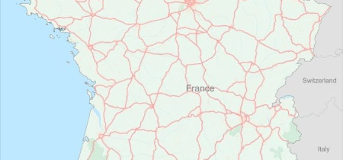
TomTom Expands HD Map Coverage to Over 200K Kilometres
Extending self-driving car testing to now include 33K of motorways in France Paris Motor Show, Paris, France, 29 September 2016 – TomTom (TOM2) today announces the coverage expansion of its
