
Archive

Sendai Framework for Disaster Risk Reduction
The Sendai Framework for Disaster Risk Reduction 2015-2030 provides a new global approach to disaster risk management policy and operations. In June 2016, the European Commission published an action plan
UAV Industry Taking Off
A look around the UAS boom industry at interaerial SOLUTIONS Karlsruhe, Hamburg 25 July 2016 | The new sector for hardware and software manufacturers and service providers in the UAS
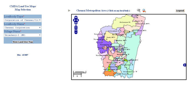
CMDA Uses GIS Based Land Use Information System for Information Dissemination
According to recent news by ToI, the Chennai Metropolitan Development Authority (CMDA) has launched a web portal to swiftly extract land-use data under the CMDA administrative area at various sites
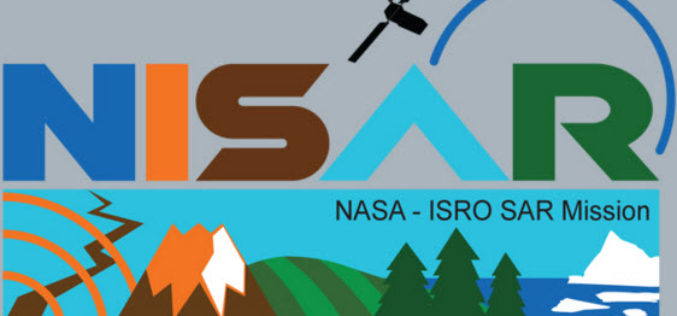
NISAR – NASA-ISRO Synthetic Aperture Radar Mission
According to recent by The Indian Express, the Indian Space Research Organisation (ISRO) and NASA’s Jet Propulsion Laboratory are jointly working on the development of a Dual Frequency (L&S band)
Trimble Introduces Cloud Asset Data Collection Solution for Natural Gas Utilities
SUNNYVALE, Calif., July 21, 2016—Trimble (NASDAQ: TRMB) introduced today its Trimble GasOps™ solution for natural gas utilities. The cloud-based, integrated mobile asset data collection solution enables natural gas distribution operators
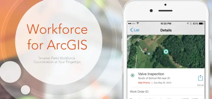
Esri Announces Workforce for ArcGIS
Esri has announced the release of Workforce for ArcGIS. Workforce for ArcGIS enables a common view in the field and the office. Get the right worker to the right place with the
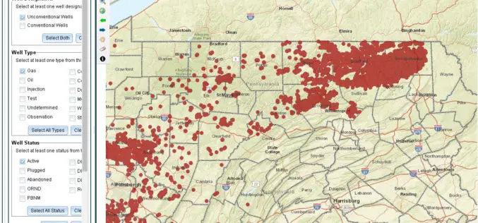
Pennsylvania Launches New GIS Application and Tutorial to Help Users Find Oil & Gas Well Mapping Information
Harrisburg, PA – The Department of Environmental Protection (DEP) today released an updated version of a GIS application that allows users to learn information and download reports about oil and

Airbus Defence and Space Launches “One Tasking”, Defining a New Level of Customer Centric Services for Satellite imagery Acquisition and Delivery
Airbus Defence and Space launched its latest development in satellite imagery acquisition and distribution, One Tasking. Representing a major step change, One Tasking offers customers the most intuitive and cost-effective
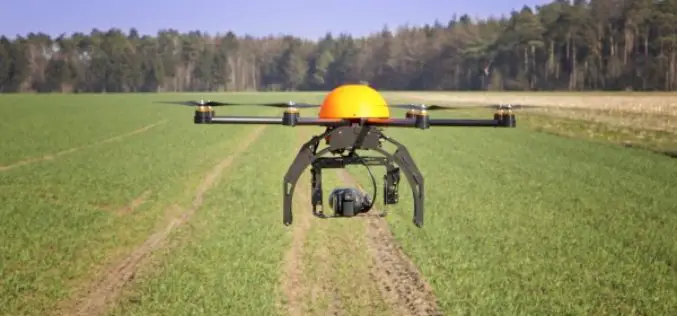
Govt. to Use Drones Based Technologies in Farming Sector
During the Monsoon session of Indian Parliament, the Minister of State in the Ministry of Agriculture and Farmers Welfare, Shri Sudarshan Bhagat had informed the house that soon drone or
Journal of Geography Article Earns National Council for Geographic Education Accolade
Esri Education Manager Tom Baker Co-Authors Best Article for Geography Program Development Redlands, California—A joint effort from Esri Education manager Tom Baker and a research group of seven university faculty
