
Archive
DAT/EM Systems International Releases 7.2
Anchorage, Alaska, USA. January 5, 2016 – DAT/EM Systems International® released the 7.2 edition of DAT/EM software products including Summit Evolution™, LandScape™, Capture™, MapEditor™, Ortho+Mosaic™, Airfield3D™ and Contour Creator™. The

OGC Announces New Arctic Spatial Data Infrastructure Project
The Open Geospatial Consortium (OGC®) announces a new OGC Interoperability Program project called the “Arctic Spatial Data Infrastructure Standards and Communication Pilot” (Arctic SDI Pilot). The Arctic SDI Pilot is

Romanian Surveying Company Selects SuperSurv
With assistance from Helix SRL, Supergeo’s partner in Italy, the Romanian company Black Light SRL has recently selected the well-known mobile GIS software SuperSurv as its mobile geospatial solution. Established

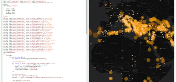
The Irish Aviation Authority Issued Rules on the use of Drones in Ireland
In light of the increased use of drones, police in the UK have seen a spike in over 2,000% in drone related calls. Many of these calls are as a
New Release of SuperGIS Server 3.2
Supergeo is proud to announce that the latest version of SuperGIS Server 3.2 is now available on our official website. This release includes some new features as well as improvements

City of Hudson Goes for GIS mapping of Utilities
According to recent news, City of Hudson will spend an estimated $222,000 to create the digital mapping for its storm sewer, sanitary sewer and water utilities. The City Council on

Government of India: Smart City Plans throw up a range of vision statements
Most of the cities aspire to be clean and green; others to leverage heritage and other unique features Stimulating economic development and inclusivity common aim Aligarh to promote communal harmony;

New Technique to Help Drones Manoeuvre Safely in Mountains
Beijing – Scientists have developed a new technology that can allow unmanned aerial vehicles (UAV) to manoeuvre safely in plateau mountain regions. The UAVs designed for plateau missions are usually
Russia Announces Compulsory Drone Registration
According to the recent news, Russian President Vladimir Putin has signed a law that obliges all private owners of unmanned aircraft weighing over 250 grams to register them with the
GRASS GIS 7.0.3RC1 Released
The new GRASS GIS 7.0.3RC1 release provides 160 stability fixes and manual improvements. Of particular interest is the new winGRASS 64 bit support. About GRASS GIS 7: Its graphical user interface supports
