
Archive

Tap Into-High Accuracy GPS Data Collection
TerraGo and CHC Webinar: Tap Into High-Accuracy GPS Data Collection Date: January 26 at 11 AM CHC and TerraGo are revolutionizing the GPS data collection market by integrating CHC’s line of

SimActive and Delair-Tech Partner to Provide SNCF with a UAV Solution
SimActive Inc., a world-leading developer of photogrammetry software, is pleased to announce the purchase of multiple Correlator3D™ licenses by SNCF. The software is used in conjunction with UAVs from Delair-Tech,
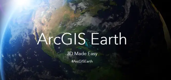
Esri Unveils ArcGIS Earth to the World
Free Interactive 3D Globe Allows Everyone to Visualize, Explore, and Understand Spatial Data Esri, the world leader in mapping technology, has launched ArcGIS Earth, a free, desktop-based interactive globe that

Ordnance Survey to Map Oman’s World Class Geospatial Path
Ordnance Survey (OS) has signed a deal with the Sultanate of Oman Ministry of Defence to help the National Survey Authority (NSA) advance its position as Oman’s national mapping authority. This
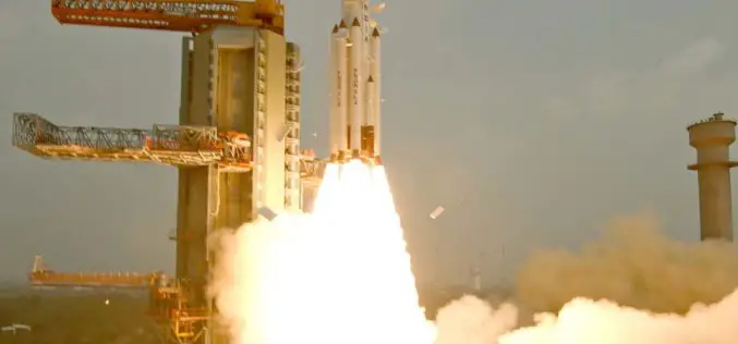
India Successfully Launches Fifth Navigation Satellite IRNSS-1E
ISRO’s Polar Satellite Launch Vehicle, PSLV-C31, successfully launched the 1425 kg IRNSS-1E, the fifth satellite in the Indian Regional Navigation Satellite System (IRNSS) on January 20, 2016, from Satish Dhawan
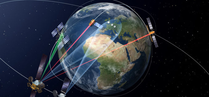
Launch of the First Satellite in the “SpaceDataHighway” Programme
SpaceDataHighway will provide high-speed laser communication in space of extremely high volumes of data transfer, up to 50 terabytes per day EDRS-A, the first relay satellite in the SpaceDataHighway programme
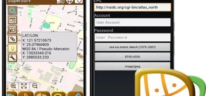
SuperSurv 3.3 Delivers the Best Mobile GIS Experience
SuperSurv 3.3 for Android, the best smart mobile GIS Application developed by Supergeo has just released an updated edition with new features and improvements! In this version, SuperSurv 3.3 not
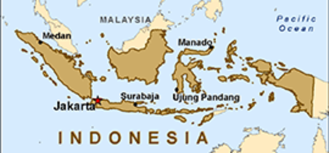
Indonesian Gears Up Smart City Roadmap with Smart Mapping Technology
The City of Depok, located in the West Java Province, Indonesia, has cemented its commitment to achieve smart city status by 2025 by leveraging state-of-the-art mapping technology to boost government
Global Hyperspectral Remote Sensing Market 2015 Industry Trends, Analysis and Forecast to 2019
Global Hyperspectral Remote Sensing Industry 2015 and analysis by 2019 analyzed the world’s main region market size, share,trends,conditions, including the product price, profit, capacity, production, capacity utilization, supply, demand and

Saudi Arabia to Use ‘LIDAR’ for Satellite Imagery
Inaugurating the first International Remote Sensing Conference in Saudi Arabia at the King Faisal Hall on Sunday, the Prince Turki bin Saud bin Mohammed Al-Saud, Saudi Arabia said the King
