
Archive
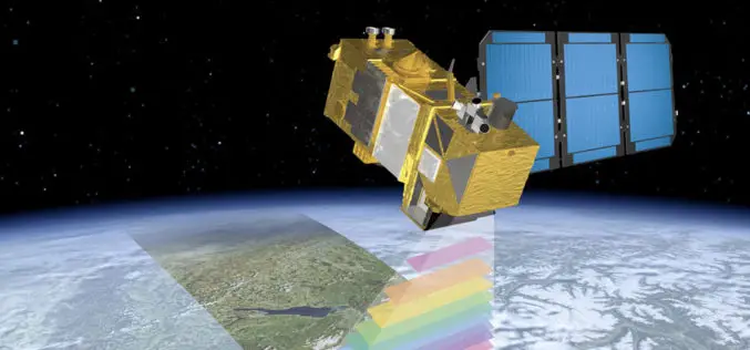
ESA Announce the Online Availability of Sentinel-2A Orthorectified Imagery
ESA is pleased to announce the availability of Sentinel-2A orthorectified products in the Sentinel Data Hub. Any products acquired from 28 November onward are available to any user. Sentinel-2 products
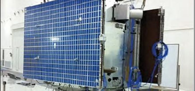
China to Launch Satellite to Help With Emission Reduction
China is planning to launch a satellite in 2016 to monitoring the global distribution of atmospheric carbon dioxide. This will be first of its kind in China, the satellite, tentatively called
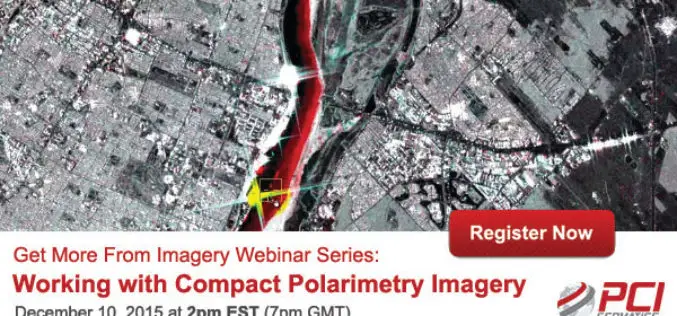
PCI Geomatica Webinar Series: Working with Compact Polarimetry Imagery
Get More From Imagery Webinar Series: Working with Compact Polarimetry Imagery Dec. 10, 2015 at 2pm EST (7pm GMT) Add Geomatica Radar tools to your software suite, and learn how to

Low-flying Airplane Mapping Geology and Mineral Resources Over the Eastern Adirondacks
Residents of Essex and Clinton counties in New York may notice an airplane flying a grid pattern at low altitude for a few weeks in December as scientists from the
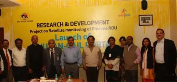
GAIL and ISRO Joins Hands for Satellite Monitoring Of Pipelines
To address pipeline safety concerns, GAIL (India) Limited in collaboration with National Remote Sensing Centre (NRSC) – a unit of Indian Space Research Organization (ISRO) – has launched an innovative

Google and Facebook Launched Crisis Response Modules to Chennai Flood
Google and Facebook have launched their resources to extend help in relief work in Chennai flood, which have been affected by the annual northeast monsoon and associated floods. Google has launched

Bhuvan Tamil Nadu FS: A Mobile App to Monitor Flood Situation
Bhuvan Tamil Nadu FS App is a user-friendly mobile application which enables to collect and report for geo-tagged of flood information on various parameters such as type of damage and
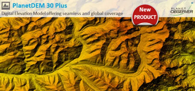
PlanetDEM 30 Plus: The New Global Digital Elevation Model at 30-Meter Resolution Offering Seamless, Reliable and Accurate Data
PlanetObserver, specialist of geospatial data production for more than 25 years, announced today the release of PlanetDEM 30 Plus global elevation model. PlanetDEM 30 Plus is the new Digital Elevation

TerraSAR-X and RADARSAT-2 to Improve Monitoring Over North Canadian Region
– The German Aerospace Center (DLR) has awarded Airbus Defence and Space with two research projects to enhance Emergency Preparedness and Safety of Operations in collaboration with Canadian partners –
UN Certificate Course on Geospatial Technologies for Disaster Risk Reduction
Geospatial Technologies for Disaster Risk Reduction in the Horn of Africa Geographic information systems (GIS) can be a very useful tool for the whole disaster management cycle starting from the
