
Archive
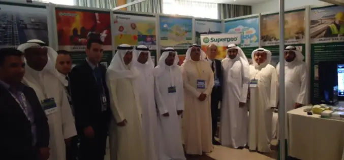
Kuwait Institute for Scientific Research Selects SuperGIS to Enhance Spatial Data Quality
Supergeo long-term partner, KISR, Kuwait Institute for Scientific Research, has adopted the latest SuperGIS Desktop 3.3 and SuperPad 3.3 to not only raise GIS work effectiveness, but also strengthen the

Aibot X6 from Aibotix Reviewed by the Geo-matching Community
The Geo-matching.com website features a selection of the most important geomatics equipment, including UAS for Mapping and 3D Modelling. At www.geo-matching.com, you can compare product specifications and read users’ reviews

TerraGo Edge Ups the Ante for Mobile Surveying with High-Precision GPS and Advanced Mapping Features
TerraGo Edge Version 3.6 provides advanced support for EOS and SXBlue High-Precision GNSS receivers on iOS and Android, adds new mobile surveying features, new basemap sources and integration with Google Earth. New

Belarus and India to Cooperate in Development of Earth Observation Technology
According to recent news by BeITA, Belarus and India are going to start a joint program for the development of earth observation technology. The news service reported that in 2015,
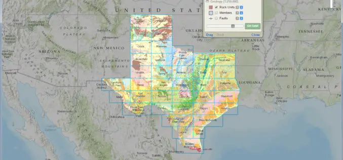
Interactive Geologic Map of Texas Now Available Online
Do you know where to find extinct volcanoes or where the dinosaurs once roamed in Texas? Can you find where unconventional oil and gas formations are present at the land

Hexagon Geospatial Launches Cloud-Based Producer Online Suite
NORCROSS, Ga., USA, June 1, 2015 – Hexagon Geospatial is pleased to announce the launch of Producer Online, which is a new cloud-based subscription service that provides on-demand access to

SimActive Provides Integrated LiDAR and Photo Solution to Altoa
SimActive Inc., a world-leading developer of photogrammetry software, is pleased to announce the purchase of its Correlator3D™ software by Altoa from French Guiana. The software will be used to process
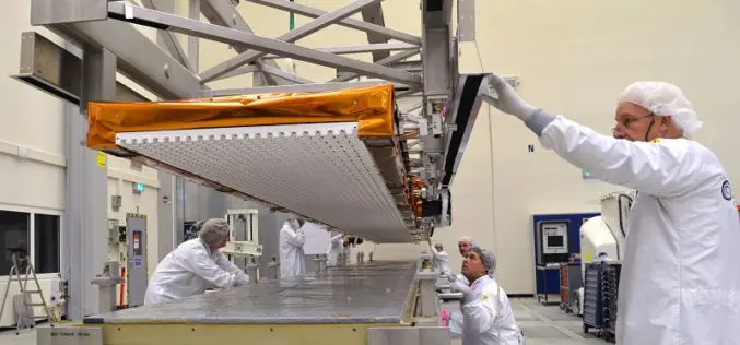
Airbus Defence and Space Delivers Sentinel-1B Radar with an Accuracy of a few Millimeters for Europe´s Copernicus Radar Satellite Mission
The Airbus Defence and Space built C-band radar instrument for the Copernicus Sentinel-1B satellite is now on its way to “meet” its spacecraft at Thales Alenia Space (TAS), Italy, the

Orbit GT and Genesys, India, sign Reseller Agreement
Orbit GT is proud to announce that Genesys, India has been selected as Reseller of Orbit GT Mobile Mapping software products. “We are pleased to have signed a Reseller Agreement

Geodesign: Change Your World – by Pennsylvania State University
What happens when creativity and science come together? The power to design our world is unleashed, providing tools to inform choices about how we live! Geodesign is the glue—it’s a
