
Archive
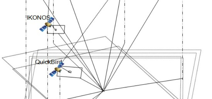
Geo Positioning Accuracy Using Multiple-Satellite Images: IKONOS, QuickBird, and KOMPSAT-2 Stereo Images
Geo-Positioning Accuracy Using Multiple-Satellite Images: IKONOS, QuickBird, and KOMPSAT-2 Stereo Images – Jaehoon Jeong, Chansu Yang and Taejung Kim Abstract: This paper investigates the positioning accuracy of image pairs achieved by integrating images
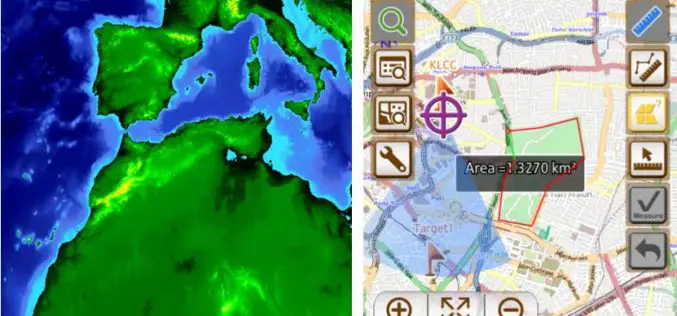
Geosystem ING, the GIS Leader in South America, Enhance Field Survey Solution with SuperSurv
Supergeo Technologies, the global leading GIS software provider, announced that SuperSurv, the smart mobile GIS app for Android and iOS handheld devices, has successfully assisted Geosystem ING, Colombia, in expanding

Geospatial Technology to Monitor Illegal Mining
In recent new by ToI, the Department of Steel & Mines, Government of Odisha is planning to setup a dedicated cell in Odisha to have a check and curb illegal
Embrace Efficiency and Flexibility with Latest SuperGIS Server 3.2
SuperGIS Server is designed to help users share GIS data in many ways, and a better version of SuperGIS Server3.2 just released this week. The latest update improves the management

TerraGo Webinar: The Benefits of Real-Time GPS Accuracy
Live Webinar: The Benefits of Real-Time GPS Accuracy April 28, 2015, 12:00PM – 12:30PM (ET) Still paying thousands of dollars and spending hours of time using GPS post-processing software to get
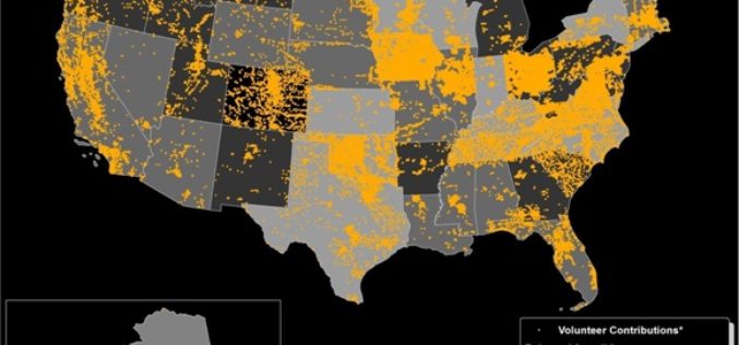
Do You Like to Map? Take the Mapping Challenge!
The USGS crowd-sourcing project volunteers have updated all law enforcement points in Tennessee Volunteer citizen-mappers continue to make significant contributions to the USGS ability to provide accurate mapping information to
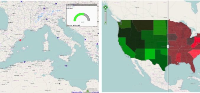
Minnesota Municipality Using GIS for Public Utilities Outage Management
In recent news by American City & County, Minnesota municipality is using GIS for efficient handling of public utility outages. A Minnesota based company “Rochester Public Utilities”, provides services to more than 47,000 power

Webinar: Generating Point Clouds with SimActive Correlator3D Version 6.1
Generating Point Clouds with SimActive Correlator3D Version 6.1 Wednesday, April 15, 2015 10:00 pm (Eastern Daylight Time) Correlator3D Version 6 introduced a revolutionary new interface for streamlined image processing of
Over 20 Concepts For Applied Projects In “Remote Sensing Applications Competition” Launched By EIAST
The competition aims to develop mechanisms and programs that serve various governmental sectors As part of the Remote Sensing Applications Competition 2014, launched by the Emirates Institution for Advanced Science

New Point Cloud Capability with SimActive Version 6.1
SimActive Inc., a world-leading developer of photogrammetry software, is pleased to announce Correlator3D™ version 6.1, now with point cloud generation. The new feature builds on SimActive’s world-renowned autocorrelation techniques using
