
Archive

Web Application Optimized For Collaboration & Visualization of ESRI Map & Feature Services, KML & OGC
PASADENA, Calif., August 19, 2014 – TouchShare, Inc., the leader in next-generation geospatial collaboration solutions, is proud to announce the release of TouchShare Web, TouchShare’s browser application that leverages GIS investments
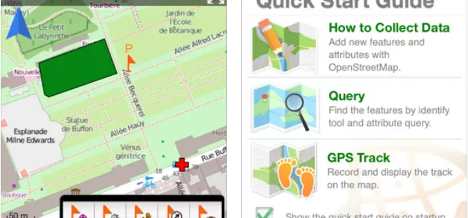
Mapping and Collecting Geospatial Data with SuperSurv 3.2 (iOS)
Supergeo Technologies Inc, the leading global provider of GIS software and solutions, announced that SuperSurv 3.2 (iOS), professional mobile GIS App, supports French user interface and Lebanese coordinate system. The
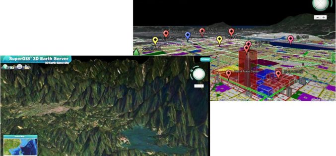
Smart City Solutions on 3D GIS Platform
Supergeo Technologies is going to bring GIS users a no-cost 3D GIS webinar to solve modern city management problems. The webinar will show how 3D GIS can be applied to
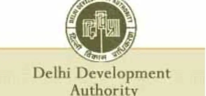
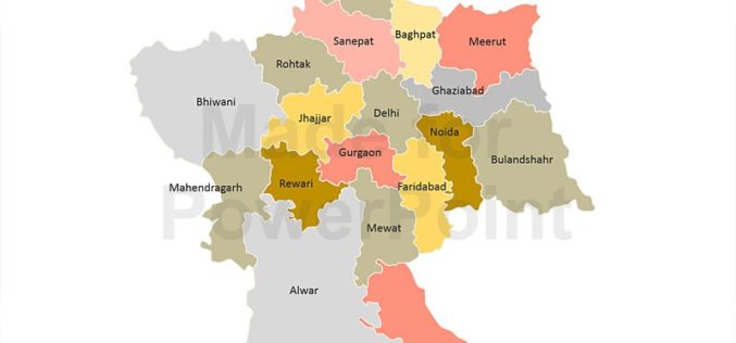
M Venkaiah Naidu Instructs DDA to Map Land in 3 Months
In recent news, Urban Development Minister M Venkaiah Naidu has instructed Delhi Development Authority (DDA) and all municipal bodies of Delhi to complete the mapping of all land properties using Geographical Information

The Government of Canada Announces Investment in Innovative Mapping System for First-Ever Global Surface Water Survey
Government of Canada supports excellence in a key technological capability August 18, 2014 – Georgetown, Ontario: The Honourable Kevin Sorenson, Minister of State (Finance), and Member of Parliament Michael Chong (Wellington–Halton
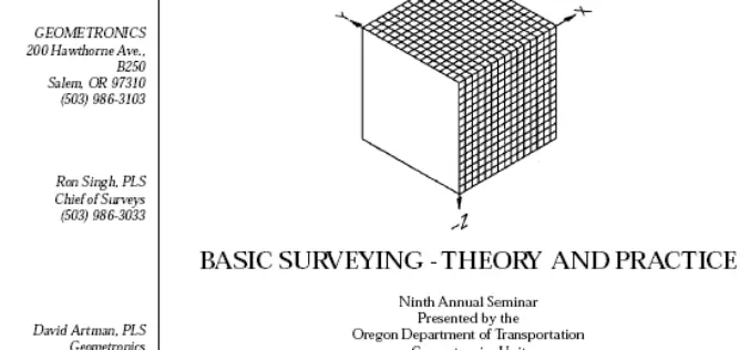
Basic Surveying -Theory and Practice
Basic Surveying -Theory and Practice Ninth Annual Seminar Oregon Department of Transportation Geometronics Unit Bend, Oregon This handbook on Basic Surveying -Theory and Practice gives a detailed explanation on Surveying techniques

Real-Time Kinematic Surveying Training Guide
Real-Time Kinematic Surveying -Training Guide by Trimble Navigation Limited The overall goal of this course is for you to learn how to use the Trimble® Real-Time Kinematic Surveying (RTK) system so that

Mapping Outbreak of Ebola: A Deadly Virus
The outbreak of Ebola in Western Africa has stuck fear in the heart of everyone about the visitors to the region or visitors from the region. The disease has a
Decline in Natural Conservation Zones in NCR: Govternment
New Delhi: Natural conservation zones (NCZs) like forests, water bodies and waste lands have declined in the National Capital Region, Lok Sabha was informed on Wednesday. As per the analysis

UN Committee of Experts on Global Geospatial Information Management
The Committee of Experts on Global Geospatial Information Management calls for the adoption of common standards so that geospatial data can be seamlessly shared and used around the world The
