
Archive

Kerala Water Authority to use GIS in Pipelines Mapping and Monitoring
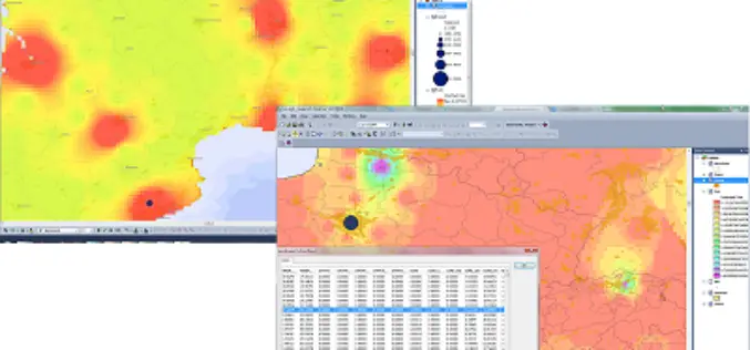
In recent news by The Hindu, the Kerala Water Authority (KWA) is planning to use 3D GIS mapping of the pipelines in the city’s distribution system. The system will facilitate

Ordnance Survey Signs New Agreement with Openreach
Ordnance Survey has entered into a new five-year agreement with Openreach (a part of BT Group) worth over £23 million for the supply of a range of data products, services and
SuperGIS Biodiversity Analyst 3.2 Upgraded for Advanced Analyses
Supergeo Technologies, the leading global provider of complete GIS software and solutions, released the upgraded SuperGIS Biodiversity Analyst 3.2, enabling users to analyze and explore the richness, diversity and

Supergeo Extends Platinum Partnership with Helix S.r.l. in Italy
Supergeo Technologies, a leading global provider of GIS software and solutions, announce the renewed partnership with Helix S.r.l., Italy, for assisting more Italian and European users in professional GIS applications.

Traffic Constables to Get GPS Enabled Wireless Sets
In a major move to improve traffic condition in Bangalore, the traffic police of Bangalore is equipping traffic constables with GPS enabled devices. More over this will allow senior officer
Tender for Enrolment Tracker Application, DIT, H.P.
The H.P. Society for Promotion of IT and E-Governance (SITEG), Department of Information Technology (DIT) invites sealed open tenders for development of following software solutions: Development of Enrolment tracker Application

Webinar on Remote Sensing of Vegetation
Remote Sensing of Vegetation Wednesday, April 23, 2014 2:30 PM – 3:30 PM EDT MundoGEO and Workshop Ends invite the entire community of geotechnology to participate in an online

Yemen Takes a Major First Step in Reaching Marginalized Communities
SANA’A Yemen, 15 April 2014 – UNICEF and the Social Welfare Fund (SWF) of Yemen’s Ministry of Social Affairs and Labour today launched the mapping of muhamasheen communities (locally known as
Nepal Telecommunications Authority to Use GIS to Map Infrastructure
In recent news, the Government of Nepal is planning to implement GIS technology to map and prepare digital database of telecom infrastructure. The entire programme will focused at maintaining digital
USGS Webinar: Using The National Map Services to Enable your Web and Mobile Mapping Efforts
Are you a developer, firm, or organization using mobile or web applications to enable your users? The USGS has publicly available geospatial services and data to help you! The USGS’
