
Archive
Remote Sensing
Snow Cover Mapping using Satellite Remote Sensing Data
Having accurate estimations of snow cover characteristics during the snow-melt season is indispensable for efficient hydrological modeling and snow-melt runoff forecasting. Direct measurements of snow depth at a single station

Business
Topcon announces upgrade to reference station network software
Topcon Positioning Group announces new reference station network software – TopNET+ v10 – bringing new features and functionality to the industry-leading TopNET+ reference station software suite. Topcon’s TopNET+ software is

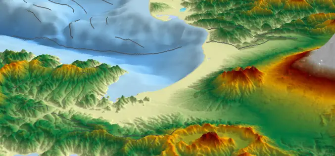
GIS
What is GIS?
GIS stands for Geographic Information System. Introduction This portion provides an overview of GIS. It examines what GIS is, what it can do and, in brief, how it works. One of the
