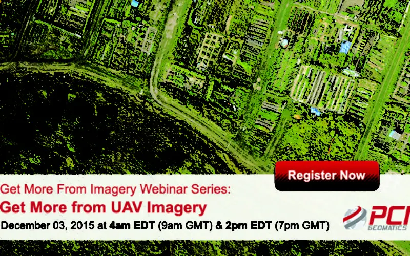
Get More From Imagery Webinar Series: Get More from UAV Imagery
Dec. 03, 2015 at 4am EDT (9am GMT) | Dec. 03, 2015 at 2pm EDT (7pm GMT)
PCI Geomatics is the developer of Geomatica- a complete and integrated desktop software that features tools for remote sensing, digital photogrammetry, geospatial analysis, map production, mosaicking and more. Geomatica software enables users to apply imagery in support of a wide range of applications such as the environment, agriculture, security and intelligence, defense, as well as in the oil and gas industries.
Webinar Description:
Learn about the features available within Geomatica that can help you to derive higher quality information with your UAV Ortho Mosaics, Point Clouds and Digital Surface Models.
What You’ll Learn:
In this webinar, PCI Geomatics experts will demonstrate:
- High-quality DSM interpolation methods for point clouds
- Automatic image to image alignment
- Accurate and interactive tools to generate Volumetric Stockpile information
- Change detection automation for vegetation analyses
- Automation capability with Geomatica Python API
Speaker:
Shawn Melamed
PCI Geomatics Technical Solutions Specialist
When:
- Dec. 03, 2015 at4am EDT (9am GMT)
- Dec. 03, 2015 at2pm EDT (7pm GMT)
REGISTER NOW