Vexcel Imaging Introduces UltraCam Eagle Mark 3: Wider Swath Width for Increased Efficiency

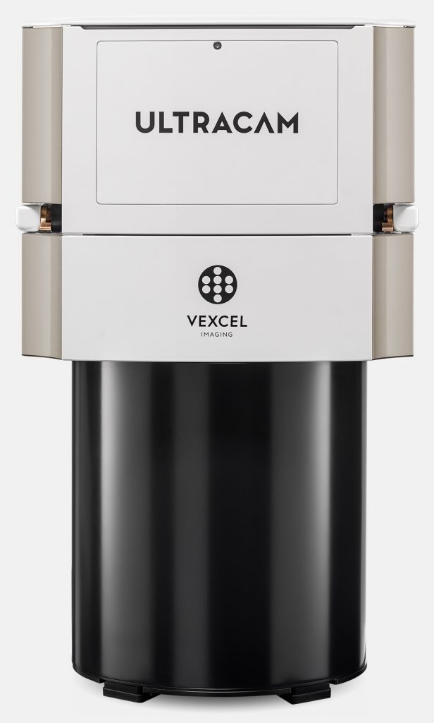
UltraCam Eagle Mark 3
Graz, Austria – October 03, 2017 – At the Intergeo 2017 conference in Berlin, Vexcel Imaging introduced the newest model of its widely adopted UltraCam digital aerial camera systems, the UltraCam Eagle Mark 3. The new camera features an unrivaled 26,460 pixels across the flight strip and 17,004 pixels in flight direction, summing up to 449 mega pixel per image. Building on the highly versatile UltraCam Eagle Mark 2 system, the Mark 3 also offers a user-exchangeable lens system and the ability to capture 10 cm GSD at altitudes ranging from 2,000m to 5,250 m above the ground, depending on the installed lens system.
The significant increase in pixels, from 23K to 26.5K across the flight strip, makes the UltraCam Eagle Mark 3 the most efficient frame-based large format digital sensor on the market today. The ability to simultaneously collect R, G, B and NIR channels at a rapid frame rate of one frame per 1.5 seconds produces high-quality data suitable for a variety of applications.
In addition, the exchangeable lens system with four focal lengths — 80mm, 100mm, 120mm, 210mm — allows the user to select the right lens for each job. For projects requiring high resolution over areas with altitude restrictions, the 210mm lens is ideal for high-altitude orthophotography collection, while the 80mm lens is very suitable for photogrammetric applications with low-altitude collection.
“Vexcel Imaging is excited to release the UltraCam Eagle Mark 3 because it represents advanced technology, developed over many years of research and development,” said Alexander Wiechert, CEO of Vexcel Imaging. “We continue to push the limits of footprint size and collection options to allow our users to expand into new markets with multipurpose high-resolution data.”