Urban Sprawl Mapping And Land Use Change Analysis Using Remote Sensing And GIS (Case Study Of Bhubaneswar City, Orissa)
Urban Sprawl Mapping And Land Use Change Analysis Using Remote Sensing And GIS (Case Study Of Bhubaneswar City, Orissa)
Monalisha Mishra, Kamal Kant Mishra, A.P. Subudhi
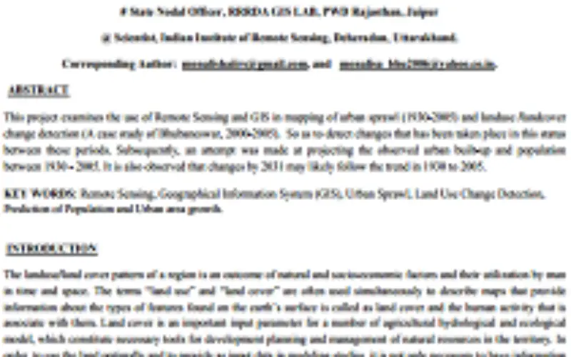
 Abstarct: This project examines the use of Remote Sensing and GIS in mapping of urban sprawl (1930-2005) and landuse /landcover change detection (A case study of Bhubaneswar, 2000-2005). So as to detect changes that has been taken place in this status between these periods. Subsequently, an attempt was made at projecting the observed urban built-up and population between 1930 – 2005. It is also observed that changes by 2031 may likely follow the trend in 1930 to 2005.
Key Words: Remote Sensing, Geographical Information System (GIS), Urban Sprawl, Land Use Change Detection, Prediction of Population and Urban area growth
Categories:
Research Papers
About Author
Related Articles
A Benchmark of Lidar-Based Single Tree Detection Methods Using Heterogeneous Forest Data from the Alpine Space
Evaluation of Narrowband and Broadband Vegetation Indices for Determining Optimal Hyperspectral Wavebands for Agricultural Crop Characterization
