 Hallowell, Maine – May 27, 2015 – Blue Marble Geographics (bluemarblegeo.com) is pleased to announce the availability of an upgrade to the Global Mapper LiDAR Module. Released in conjunction with Version 16.2 of Global Mapper, the latest version includes numerous functional enhancements and performance improvements that have been designed to help streamline the processing of LiDAR data. Updated functionality includes support for point cloud data with embedded Near Infrared (NIR) values for enhanced wetland and vegetation analysis and change detection; improved reclassification and feature extraction performance; and customization of the point classification names and colors. Blue Marble’s geospatial data manipulation, visualization and conversion solutions are used worldwide by thousands of GIS analysts at software, oil and gas, mining, civil engineering, surveying, and technology companies, as well as governmental and university organizations.
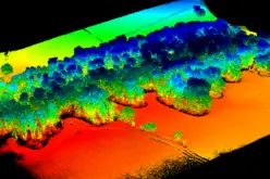
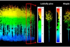
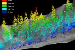
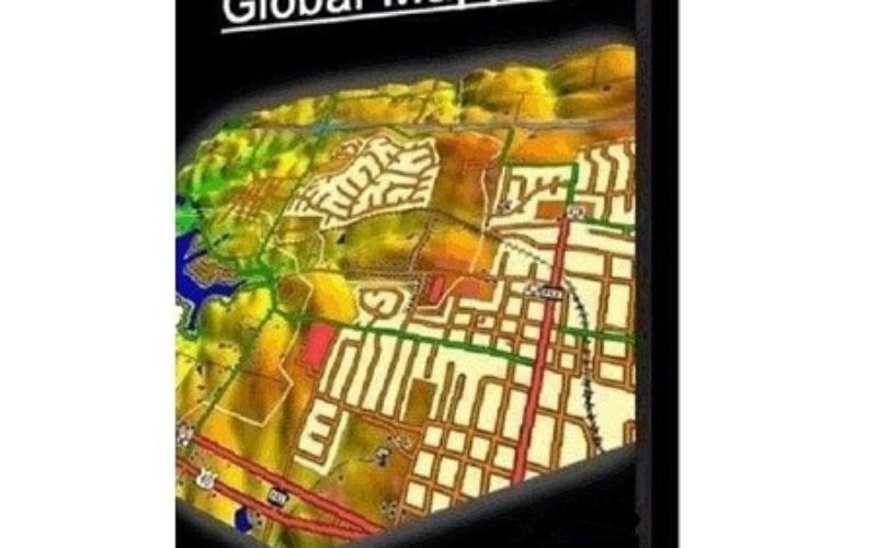
The Global Mapper LiDAR Module is a must-have for anyone working with terrestrial or airborne LiDAR as well as other point cloud datasets. As an optional add-on to the software, it provides numerous advanced data processing tools, including automatic point cloud classification; feature extraction; cross-sectional viewing and editing; dramatically faster surface generation; and much more.
The module now offers support for LiDAR data that includes NIR values. Using this embedded information, NDVI or NDWI values can be automatically calculated for vegetation or wetland analysis and the display of the point cloud will represent these values using the preconfigured NDVI or NDWI shader colors. Availability of NIR values in LiDAR data also improves the detection and reclassification of high vegetation and building points.
The latest release of the LiDAR Module also includes performance improvements when automatically classifying or manually reclassifying a point cloud or extracting features such as buildings and trees. This increased processing speed comes from the data being automatically broken up into smaller sections so the work can be efficiently performed in memory. The names and colors that are applied to point cloud classifications can now be customized and this new information will be automatically written into the header in any subsequently exported LAS or LAZ file.
“At Blue Marble, we recognize the increasing importance of LiDAR data in the geospatial community,” stated Patrick Cunningham, Blue Marble President. “The LiDAR Module offers a powerful toolkit for increasing the value and utility of point cloud data and the new features and functions in the latest release are a testament to our commitment to this technology.”
The LiDAR Module release is in conjunction with Global Mapper version 16.2 and is a complementary upgrade for current users of the LIDAR Module version 16. Global Mapper users can activate a trial of the module from the Module/Extension License Manager which can be accessed from the Help menu in the software. For a complete list of new features and enhancements or to download a trial copy of Global Mapper, visitwww.bluemarblegeo.com/products/global-mapper.php. For upgrade options and purchase pricing please contact the Blue Marble Sales Team atsales@bluemarbluegeo.com.
###
About Blue Marble Geographics: Blue Marble Geographics of Hallowell, Maine is a leading developer and provider of software products and services for highly accurate geospatial data conversion solutions. Blue Marble is known for their coordinate conversion and file format expertise and is the developer of the Geographic Calculator, GeoCalc SDK, Global Mapper, LiDAR Module for Global Mapper and Global Mapper SDK. The company has been writing GIS software tools and solutions for over twenty years and currently serves hundreds of thousands of users worldwide.