University of Guelph: Prof. John Lindsay Develops Whitebox Geospatial Analysis Tools for Processing Geospatial Data
Professor John Lindsay has developed a one-of-a-kind software package called Whitebox Geospatial Analysis Tools for processing geospatial data that he says has put the University of Guelph on the map among users worldwide.
Lindsay started the Whitebox project shortly after arriving at Guelph in 2008. He based the product on an earlier package he developed for analyzing terrain.
Early this year, he released the most recent edition, which — as with previous versions — follows an open-source model. That means users can read and adapt his computer code for their own purposes, unlike proprietary GIS packages that mask their workings inside metaphorical “black boxes.”

The Whitebox GAT project began in 2009 and was conceived as a replacement for the Terrain Analysis System (TAS). Whitebox GAT was intended to have a broader focus than its predecessor, positioning it as an open-source desktop GIS and remote sensing software package for general applications of geospatial analysis and data visualization.
Whitebox GAT is intended to provide a platform for advanced geospatial data analysis with applications in both environmental research and the geomatics industry more broadly. It was envisioned from the outset as providing an ideal platform for experimenting with novel geospatial analysis methods. Equally important is the project’s goal of providing a tool that can be used for geomatics-based education.
Whitebox GAT is open-access
An important characteristic of Whitebox GAT is the unique open-access development philosophy adopted by the project, which lends itself to experimenting with geospatial algorithm development. Open-access software can be viewed as a complimentary extension to the traditional open-source software (OSS) model of development.
Over the past four years, the software has been downloaded about 25,000 times, particularly in Canada and the United States, Europe, India, Brazil and Australia.
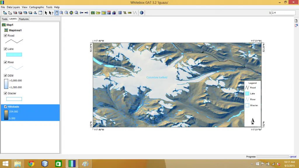
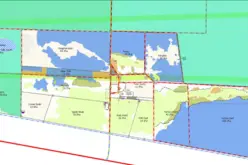
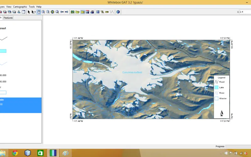
Used in a wide range of geomatics applications, it’s particularly well suited for analyzing topographical data, including information from airborne Light Detection and Ranging (LiDAR), a remote surveying method that uses laser light to measure 3-D terrain surfaces — Lindsay’s research focus.
That kind of information is invaluable for companies looking to pinpoint likely locations of resources such as minerals or oil, and for public agencies mapping forests or soils to improve land use, says Lindsay.
The package is employed extensively for education and research at universities and research centres worldwide. Government agencies using Whitebox range from the United Nations to the United States Department of Energy to the Canadian Geological Survey.
Source: University of Guelph