University of Glasgow Offering MSc/PgCert/PgDip Course in Geospatial and Mapping Sciences
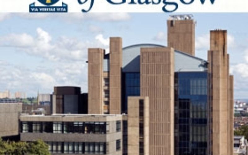
 Founded in 1451, Glasgow is the fourth-oldest university in the English-speaking world. Over the last five centuries and more, we’ve constantly worked to push the boundaries of what’s possible. We’ve fostered the talents of seven Nobel laureates, one Prime Minister and Scotland’s inaugural First Minister. We’ve welcomed Albert Einstein to give a lecture on the origins of the general theory of relativity. Scotland’s first female medical graduates completed their degrees here in 1894 and the world’s first ultrasound images of a foetus were published by Glasgow Professor Ian Donald in 1958. In 1840 we became the first university in the UK to appoint a Professor of Engineering, and in 1957, the first in Scotland to have an electronic computer.
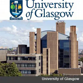
The University of Glasgow is offering Postgraduate taught degree programmes in Geospatial and Mapping Sciences MSc/PgCert/PgDip.
This Masters in Geospatial & Mapping Sciences focuses on understanding the theory and practice of geospatial data collection; land and hydrographic surveying; data and information quality; applications of survey information; and research and development in the field of geomatics. It is strongly endorsed by industry, accredited by the RICS and has an excellent employment record.
Key facts
- MSc: 12 months full-time; 24-48 months part-time
- PgDip 9 months full-time; 21-44 months part-time
- PgCert 3.5 months full-time; 9-32 months part-time
- Contact: ges-enquiries@glasgow.ac.uk
- This programme meets the academic requirements for membership of relevant professional bodies and is accredited by the Royal Institute of Chartered Surveyors (RICS) and the Chartered Institution of Civil Engineering Surveyors.
- University of Glasgow’s School of Geographical and Earth Sciences is proud to announce that it is ranked 32nd in the world (QS World Rankings 2014).
- The School is consistently ranked amongst the top 10 in the UK and top 5 in Scotland, recently achieving 2nd in Scotland and 8th in the UK (Guardian University Guide 2015).
Programme Structure:
Modes of delivery of the MSc in Geospatial and Mapping Sciences include lectures, seminars and tutorials and allow students the opportunity to take part in lab, fieldwork, project and team work.
Core courses
- Land surveying principles and methods
- Fundamentals of geomatics
- Topographic mapping from ground, air and space
- Principles of GIS
- Geodesy & GNSS
- Hydrographic surveying
- Engineering surveying
- Research and professional issues.
Optional courses
- Application development in GIS
- Geospatial data infrastructures
- Hydrographic surveying applications
- Land information systems
- Photogrammetry
- Remote sensing
- Terrain modelling
- Terrestrial laser scanning.
Readers can read more about regarding entry requirements, fees and funding, scholarship programmes, career prospects and how to apply at following link: http://goo.gl/c5WQJa