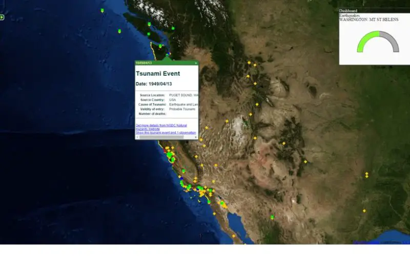
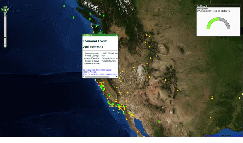
Integrating different sources of open data often generates great value and new information. For example, by integrating earthquake and tsunami locations with a coastal city vulnerability index, you will be able to find which cities are most vulnerable to tsunamis. Generally, data itself may not contain any information, but contrarily information is always derived from data. However, well-organized data is not easy to find, because there are many different formats for open data, including shp, geo, kml, kmz, csv, GeoJSON, and more. It is a challenge to integrate all these different formats together.
SuperGIS Server provides a powerful platform to integrate all common data formats into a single map. Moreover, it allows users to make their data accessible. For example, users can publish their data as OGC standards like WMS, WFS, and WMTS. By using SuperGIS Server, users will be able to integrate their data with the wealth of open data available online, and create more value.
So why don’t you start today? Explore the possibilities of open data, and grasp the world in your hand. Discover new information and generate greater value by using Supergeo products to integrate, visualize and analyze a world of open data.
On October 29, 2015, Supergeo will hold a webinar topic on open data. In this webinar, you will learn how to integrate various data formats with SuperGIS Server to make different applications, and get a one-month free trial after the webinar! Save your seat and join our free webinar on Thursday, 29th October 09:00 AM (GMT+1) (Your local time): https://attendee.gotowebinar.com/register/8347980831060935682